In this section we would like to share the trail running routes in Gran Canaria prettier so you can discover the island running. They really are routes of hiking in Gran Canaria intermediate and advanced level that are perfectly valid for the famous trail running. That is, run on land.
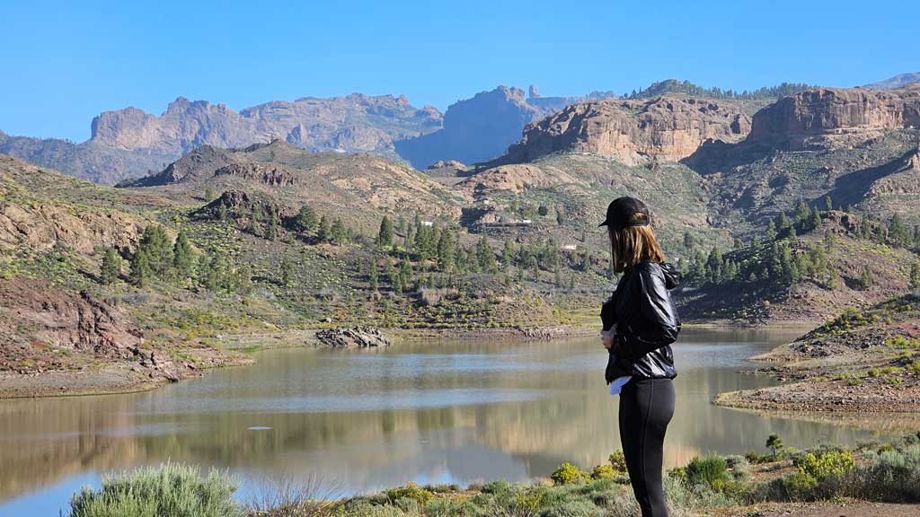
TRAIL RUNNING ROUTES IN GRAN CANARIA
Best trail routes in Gran Canaria
Of the trail running routes in Gran Canaria that we have done, we tell you what we think are the most beautiful and spectacular to discover the island. The network of trails on the island is super extensive and, as we do more, we will post them here. At our newsletter We are sharing all the routes and places to see in Gran Canaria in case you want to sign up. Below, we detail our top 5 trail routes in Gran Canaria. Below you have them all 🙂
1) Alta Montaña-Monte Pavón Circular
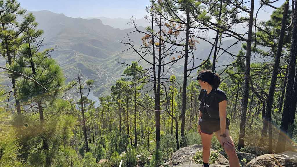
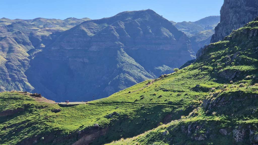
This route through Mount Pavon It is one of the greenest on the island and one of the ones we most recommend doing in winter so you can teleport to the Ireland of Gran Canaria. Along the trail you will find a diverse landscape of meadows, flocks of sheep, Canarian pine forest, traditional cheese factories, among others.
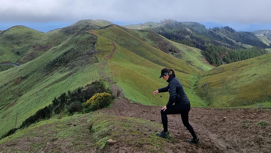
Both before and after the route you can take advantage of the fact that you are in the area to visit the Cheese House and climb to the Montaña Alta viewpoint. If you want to do it, click on the route name above for more details.
| Distance | 13,4 km |
| Duration approx. in a hurry | 3-4 h |
| Total promotion | 671m |
| Circular | Yes |
| Provisioning en route | No |
2) Circular Firgas-Barranco de Azuaje
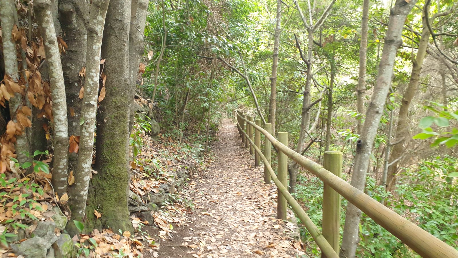
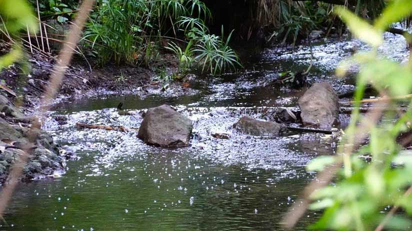
This circular route leaves the town of Firgas and runs through one of the ravines that carries water all year round, that of Azuaje. So you can imagine its greenery. It leaves from the town of Firgas and passes by a spectacular viewpoint with views of the ravine that at least reminds me of Jurassic Park (obviously without dinosaurs hehe).

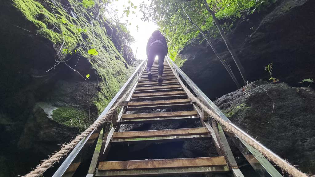
Please note that there are certain parts of the route where You will have to climb with ropes in two specific steps, nothing that will resist you if you are an agile person. Something that we understand if you do trail running. Since you are in the area, we recommend you take a look at our article on what to see in Firgas. We leave you below with a brief summary of this trail suitable for trail running.
| Distance | 9,4 Km |
| Duration approx. | 2-3h |
| Total promotion | 533m |
| Circular | Yes |
| Provisioning en route | No |
3) Circular Puerto de Las Nieves – Agaete Valley – Berbique
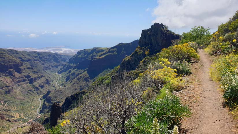
This route has become one of our favorites because of the views that it offers throughout much of the trail to the entire Agaete Valley and the northern coast of Gran Canaria. You will reach the highest point in the It was from Berbique at 635 meters, which is also beautiful. In fact, the mountains around it remind us of the Yosemite in the United States.
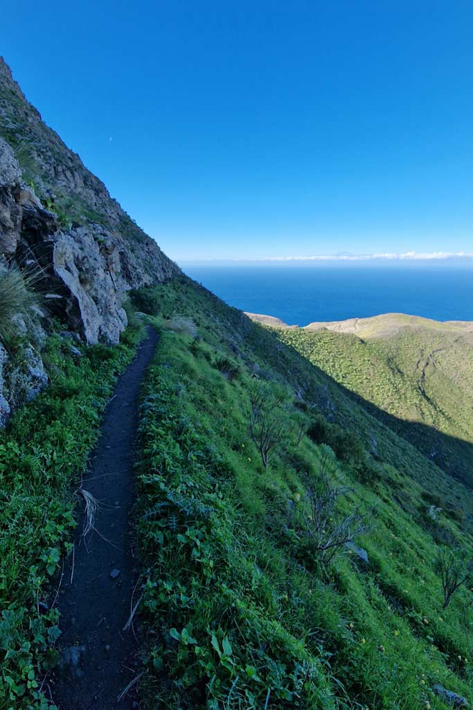
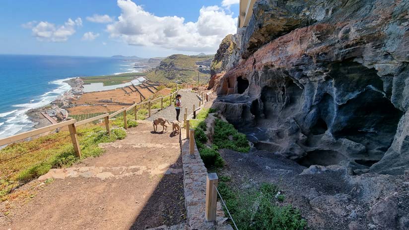
On the other hand, during the descent you will have views of the rugged coast known as the "dragon's tail" and Tenerife (on clear days). Furthermore, since it is circular, it leaves and ends in the Las Nieves Port, One essential places to visit in Gran Canaria.
| Distance | 16,5 Km |
| Approximate duration | 4-6 horas |
| Total promotion | 777m |
| Circular | Yes |
| Provisioning en route | No |
4) Route of the Three Dams: Chira, Las Niñas and Soria
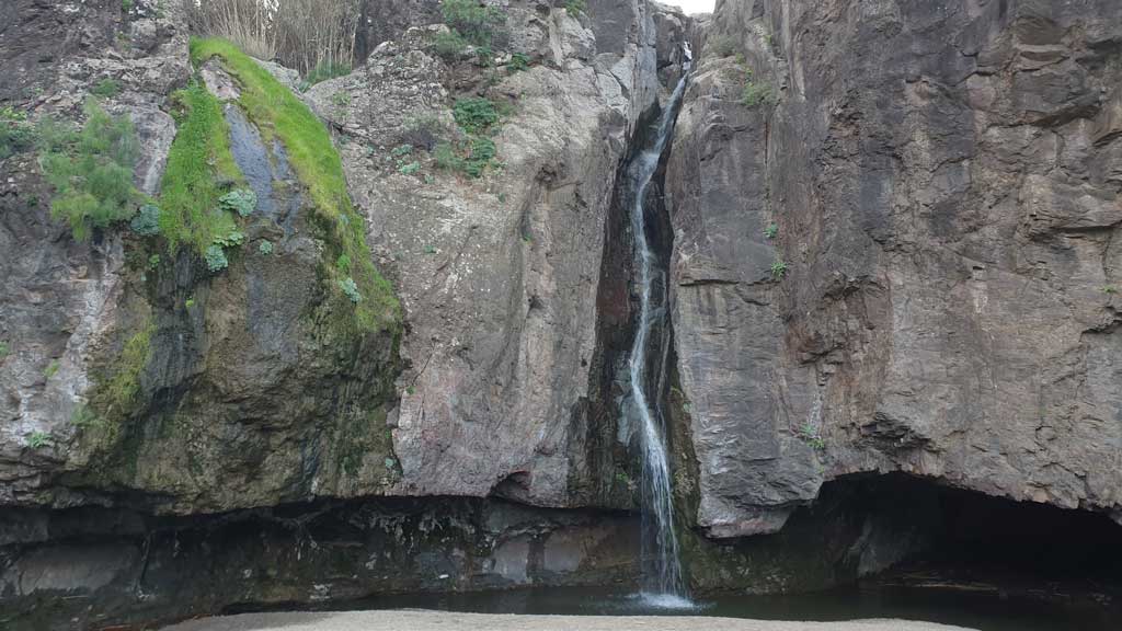
This route through the Gran Canaria Dams that leaves from Chira and pass through Las Niñas and Soria we loved it. Also, go through the Soria ravine, one of the most beautiful places on the island. If you do it after months of rain you will also see plenty of water like small waterfalls and, if you're lucky, the dams are full! Below you can see the technical details, to highlight the total promotion.
| Distance | 17,5 km |
| Approximate duration | 4-5 horas |
| Total promotion | 1.237m |
| Circular | Yes |
| Provisioning | Yes, but at Km 10 |
5) Camino de Santiago de Gran Canaria
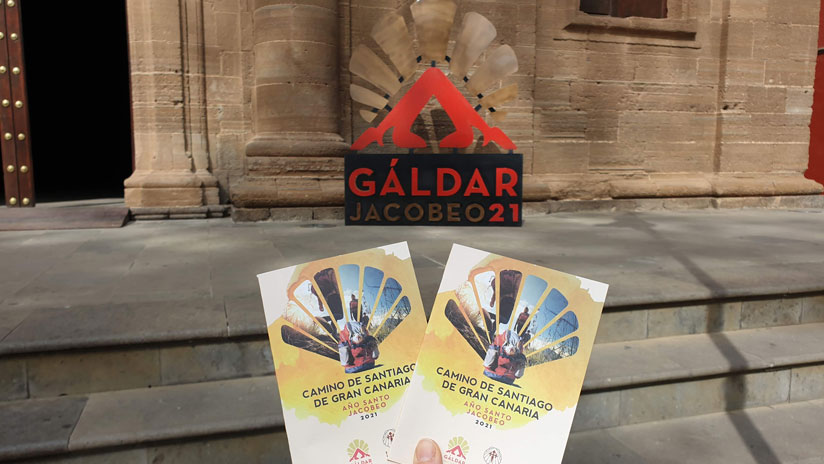
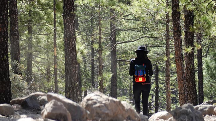
I don't know if you knew that there is a Camino de Santiago de Gran Canaria. If not, you already know. In case you are looking for a long trail running route of medium-high difficulty, This is the best option. The path has a total of 66 kilometers which is usually divided into three stages of different length and gradient. We recommend that you read the article with all the detailed information by stage, since It requires some organization as these are not circular routes.
Gran Canaria trail running routes by season
On the other hand, there are other trail running routes in Gran Canaria in which their beauty is highlighted during certain times of the year or are only accessible on certain dates. They are the following:
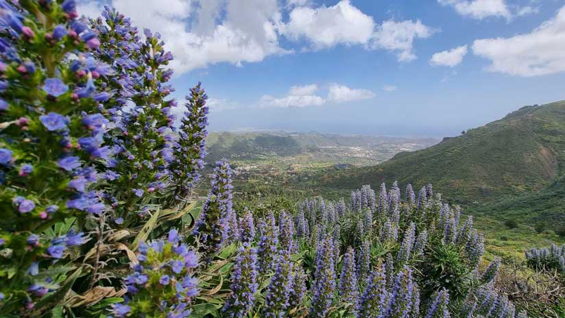
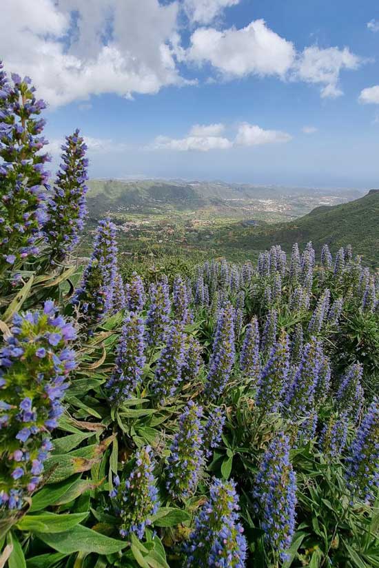
- Circular Tajinaste Blue in Valsequillo with the tajinaste in flower from February to April approximately
- Circular La Paloma Puddle en Tejeda with the Almond Blossom from January to March normally
- Source of Los Azulejos through the Inagua Comprehensive Natural Reserve, only accessible with permission from October to May. The rest of the months are prohibited because coincides with the breeding season of the blue finch, a species endemic to Gran Canaria in danger of extinction.
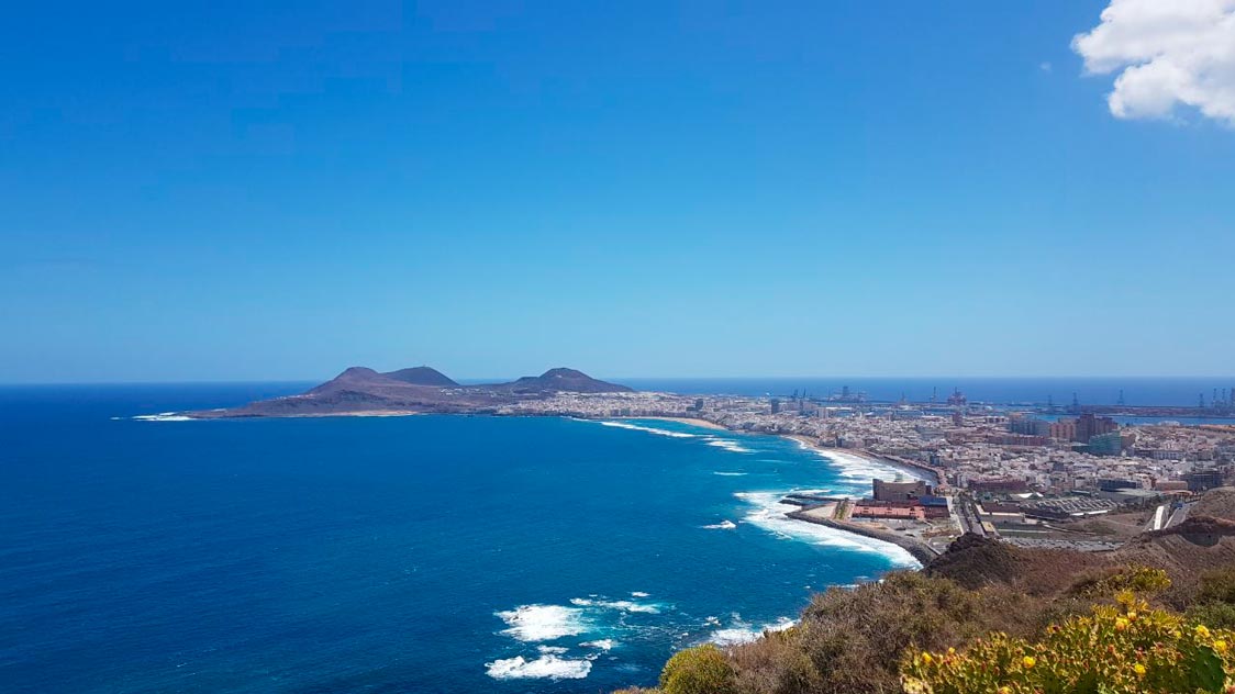
Finally, there are also other easy routes through its plain that we recommend for those who are just starting out on trail routes. This is the case of the circular trail through Los Giles with views of Las Palmas de Gran Canaria.
We hope that some of these Gran Canaria trail running routes They help you train and get to know the island at the same time. Remember that all these paths can also be done quietly on foot. And, if you like to compete in trail running races, every year there is a mountain race in Gran Canaria that is quite well known, is the Transgrancanaria. It has different modalities, the largest being 128 kilometers and the shortest being 13 kilometers. We invite you to investigate a tad so you can choose the distance that best suits you.
First time trail running in Gran Canaria
If you are starting out in this world or it is the first time you are going to mountain running in Gran Canaria, keep the following considerations in mind:
- Weather forecast. It is important that you look at the specific prediction in the area through which the route runs. The island has different microclimates and beyond a certain altitude there can be temperatures below zero in winter and it is advisable to bring a coat. The same goes the other way around, if you are going to run through a hot area, Carry sun protection in cream, as well as for your head.
- Provisioning. During many routes there are no refreshment points because you are in the middle of nature. Bring enough food and drink for any unforeseen event.
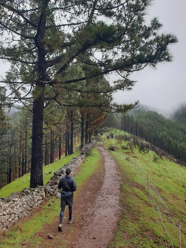
- Goretex sneakers. There are areas of the interior of Gran Canaria that are very humid and full of mud. We recommend shoes with Goretex (waterproof material) for routes on rainy days or after rainy days.
- How to follow a track. If you have never done trail running or hiking outside your area of residence, here we explain how to follow a track with your cell phone or with your GPS.
Gran Canaria Guides
Finally, if you want to discover more places on the island without having to worry about what to visit or where to eat, you can save time on planning with our Gran Canaria guides. You have them all just one click below.


