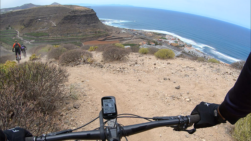
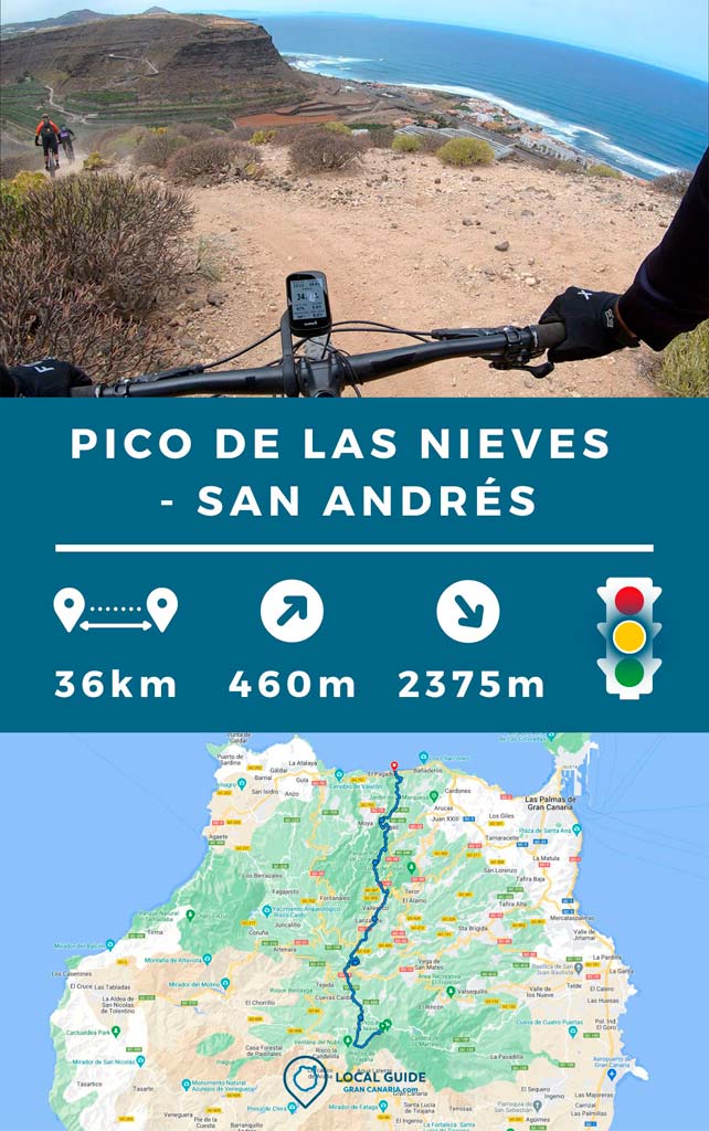
In this entry we want to share with you a good route of descent from Pico de Las Nieves to the coast of San Andrés, north of Gran Canaria. It is ideal to go with your Enduro bike or e-Bike, since you can enjoy a long descent with some uphill. Below we give you more details, don't miss the route track at the end to do it on your own and the video of the descent.
Departure from Pico de Las Nieves
This route starts from Pico de Las Nieves, one of the highest peaks of Gran Canaria. You can go up by car or van (contact us and we will put you in touch with this type of services) to avoid pedaling uphill as little as possible. As you can imagine, you can also pedal up to Pico de Las Nieves. This can take you more than four hours if you are in shape.

Route from El Pico de Las Nieves to San Andrés by bike
The route has a length of 36km, of which 2.375 m are descent and 460 m are ascent. It has quite a few medium/high level technical descents. It runs along stone, dirt paths and a short stretch of asphalt to link paths. For this reason, it is interesting to do this route with an Enduro, All Mountain or Electric Enduro bike. At the Pico viewpoint (start of the route) there is usually a van to buy groceries (although with expensive prices). We recommend that you already bring your water and food for at least half the route. In Cross of Tejeda, a picturesque place perfect for a break, we will find several stalls to buy more water and food.

We continue through the descents of Cruz de Tejeda, Valleseco, Lanzarote and Monagas until reaching Firgas. This can be a good point for the last provisioning if we are short of water. After this point we will the descent of Azuaje Spa and we will finish with spectacular views along a good descent that leaves us at San Andrés beach. With stops it took us about 4 hours, of which we were on the move for 2 hours 15 minutes.
Route characteristics
| Distance | 36 km |
| Total promotion/demotion | 460 m / 2.375 m |
| Estimated time | 3 / 4 hours |
| Minimum drink | 1 l |
| Minimal food | 500 Kcal |
| Shops on the road | Si |
| Technical level | Medium/high |
| Recommended bike | Enduro/All Mountain |
Complete descent track
Now, You can download the track in .gpx format so you can follow the route on your own. If you don't know how to download it and follow it from your GPS or smartphone, here we explain it to you. If you want to support us so that we continue creating content for you about Gran Canaria, we would appreciate it if you purchased any of our tracks, either to enjoy incredible routes or as a donation. Oh, and don't miss the video of the route below!

Video of the route
Below we leave you the video of this descent and don't forget to subscribe to the YouTube Channel de Jorge.
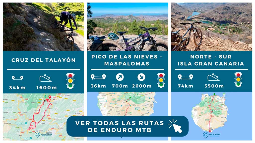
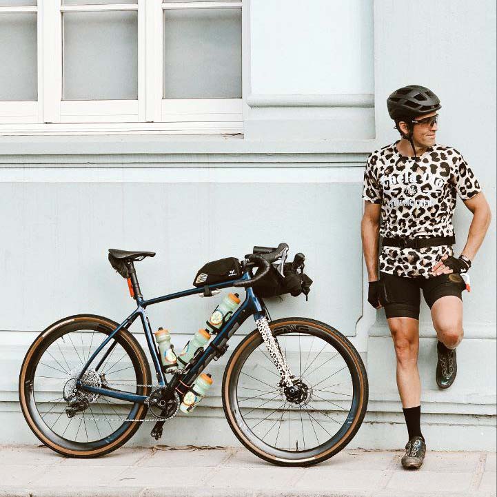
If you have come this far it is because you are a lover of life on two wheels. That means that you are one of us and, therefore, we are sure that you will love the fashion brand Chela Clo and his philosophy. Then you can See all the enduro tracks we have available to explore the island the way you like best.


Athlete and lover of life on two wheels, both mountain biking and urban biking. He is the Spanish MTB downhill champion and, therefore, a great connoisseur of the mountains of Gran Canaria.


Hello, do you know any company with which we can do this route?
Hello!! Do you mean the ski lifts?