In this entry we are going to tell you everything about the route of Gravel Bike by Tirma on bicycle. The track itself is 17 km long and has a considerable slope., but it does not have technical areas, it is all track. So you could do it with a Gravel Bike even if you don't have much technique.
Gravel bike ride
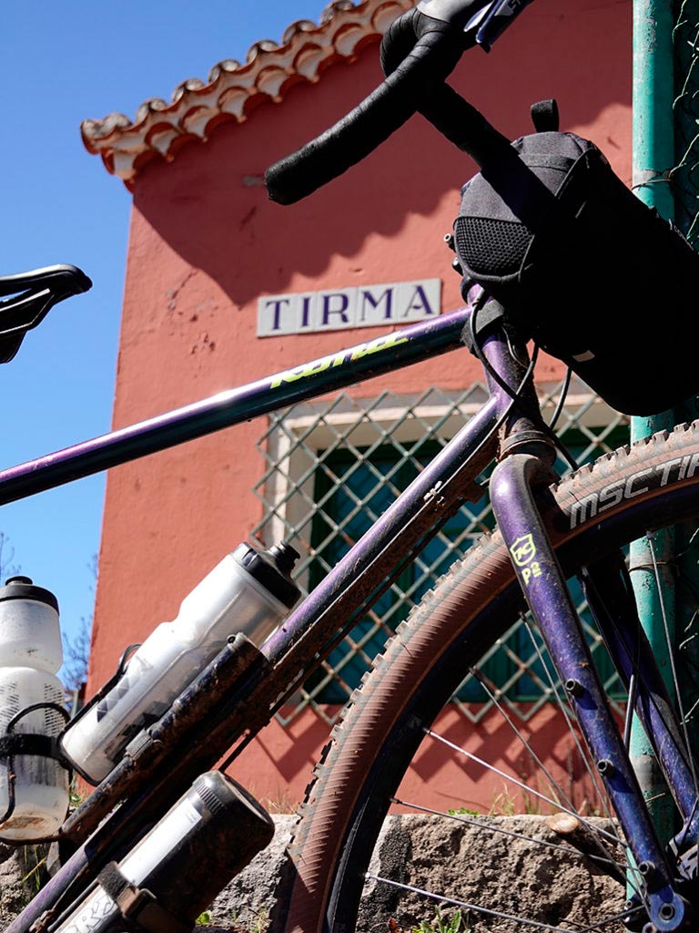
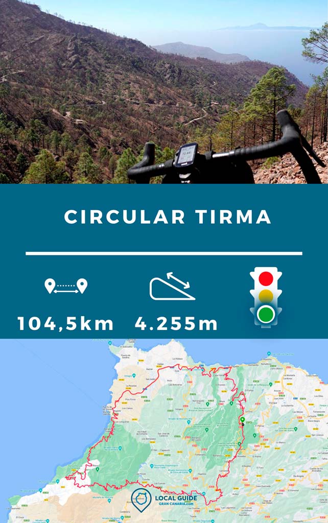
The excursion begins and ends in Firgas, so it is circular. This route is for high-level cyclists in terms of physical demand, since we will travel a total of 104 km with 4.255 m of total ascent. If you only want to do the Tirma track on an MTB or Gravel Bike, you can do it in isolation. You would have to drive to Green Platform, where the famous dirt road begins and ends. The other way would be to park the car in tamadaba, in the same house in Tirma (the one that appears in the photo). This will depend on whether you want to finish the route going down or up.
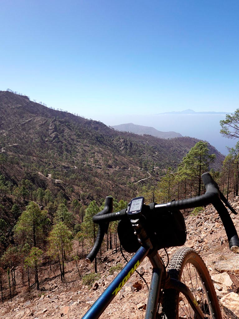
Returning to the route we took (the one that appears in the track at the end of the post) we started going down from Firgas to San Felipe. We then continue along the secondary road of El Hormiguero until we reach Gáldar. From there we will take the highway to agaete, which is very busy with cars and you have to be careful. In Agaete we continue along the spectacular road that leads to The Village of San Nicolás. There is an advisable stop to refill the water bottles at The risk, where there is a bar. From this point there are only a few km of road left until you reach the beginning of the Tirma track. Here we will cycle more than 55 km of road. So if you want to save time, you can start the route from later on. That's what you have the track for too.
After finishing the track in Tamadaba, we headed by road to the town of Artenara. Where we can refill water and food if we are short to face the final climb through Cuevas de Caballero with incredible views.
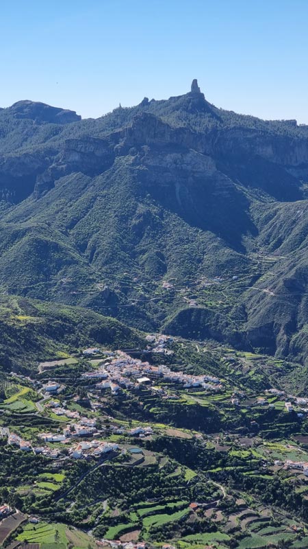
Subsequently, We leave the track and follow some paths that will take us to the Parador de Cross of Tejeda. Point at which we could continue towards the summit. Or as was the case after 6 hours of cycling through Gran Canaria, we turned towards the starting point passing through the town of Valleseco.
Route characteristics
| Distance | 104,5 km |
| Total promotion | 4.255m |
| Estimated time | 7 hours |
| Minimum drink | 2,5 l |
| Minimal food | 1000 Kcal |
| Shops on the road | Si |
| Technical level | Bass |
| Recommended bike | MTB/Gravel |
Route track
Below you can Download the route track in .gpx format so you can follow it on your own without getting lost. If you don't know how to download it and follow it from your GPS or smartphone, here we explain it to you. If you want to support us so that we continue creating content for you about Gran Canaria, we would appreciate it if you purchased any of our tracks, either to enjoy incredible routes or as a donation.
Below you can see all our MTB and gravel bike routes to discover Gran Canaria on your own on two wheels.
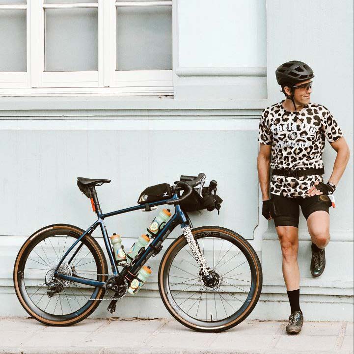
Athlete and lover of life on two wheels, both mountain biking and urban biking. He is the Spanish MTB downhill champion and, therefore, a great connoisseur of the mountains of Gran Canaria.


