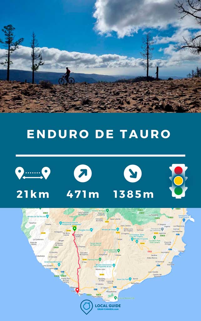
On this occasion we want to share with you the most long of the Taurus MTB Enduro in the south of Gran Canaria. It's a one-way route. DO NOT CIRCULAR. Which means that you will have to go up by car (40 minutes from Arguineguin) or by road bicycle (depending on the rider it is about 2 hours along the El Pajar road). Still, we assure you that It is worth it, since you will enjoy spectacular views.

Descent through the south of Gran Canaria by bike
When driving up to the departure point, the 90% of the route will be downhill. Which does not mean that there is no need to make some climbs. The terrain is loose flagstone and dirt to a greater extent. With a good grip, although the stones are jumping the entire way and can hit the bike. The road is very fun, so don't let this stop you.

The route It does not have excessively technical descents, if you go at a normal pace, you can see all the difficulties along the way without a problem.
Characteristics of the Taurus bike route
This route is perfect to do in enduro bike, being 90% downhill, a 16 or 17cm double suspension bike would be ideal (although I did it with a bicycle with a 14/13cm suspension perfectly).
| Distance | 21,3 km |
| Total promotion | 471m |
| Total decline | 1.385m |
| Estimated time | 2 / 3 hours |
| Minimum drink | 500ml |
| Minimal food | 500 Kcal |
| Shops on the road | No |
| Technical level | Medium |
| Recommended bike | Enduro/All Mountain |
Please note that the beginning of the route, You will have to carry the bicycle a couple of kilometers, unless you are riding an electric bicycle. We left a car in El Pajar de Arguineguín and went up with the other cars and bikes to the starting point of the track. Here you can park without problem to start the bike route.

✔ To take into account before taking the route
Bring enough water and food to do the complete route. The track does not go through any store in which to buy. We also recommend bring spare tubes, because the rock can easily make you puncture.
Download the Tauro Enduro track
Now, You can download the track in .gpx format so you can follow the route on your own. If you don't know how to download it and follow it from your GPS or smartphone with the Guru maps app, here we explain it to you. If you want to support us so that we continue creating content for you about Gran Canaria, we would appreciate it if you purchased any of our tracks, either to enjoy incredible routes or as a donation.

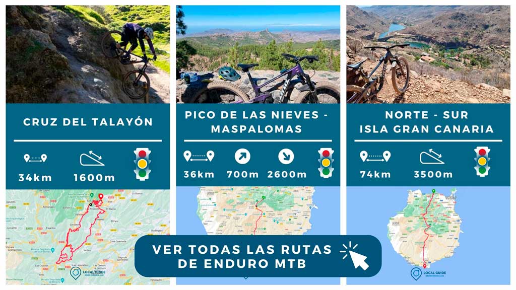
If you want to know more routes like this, take a look at all our tracks below.

Athlete and lover of life on two wheels, both mountain biking and urban biking. He is the Spanish MTB downhill champion and, therefore, a great connoisseur of the mountains of Gran Canaria.


