
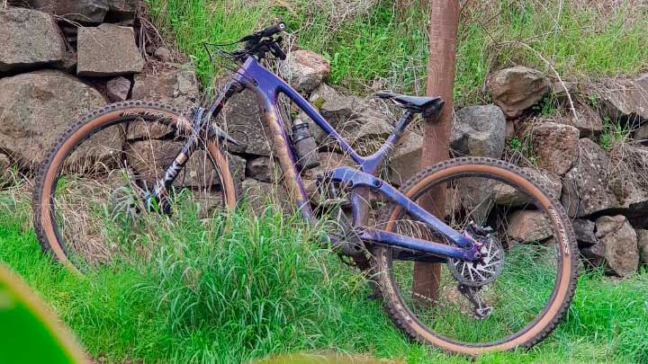
In this post we want to share with you a circular route that runs within the municipality of Firgas. This is a route suitable for beginners if you have an Enduro bike. And if you want to do it with an XC or Gravel Bike, you must have a medium technical level for the first descents, and a very high level for the DH at the end. Below you have all the details of this enduro route through Firgas that we wanted to call La Tunerosa.
Enduro cycling for beginners in Gran Canaria: La Tunerosa
We start in the town of Firgas, going up to the Los Chorros intersection. Here we will enter some paths that go into the forests of this area, where we will begin to descend towards the Firgas. It is a very beautiful area of Gran Canaria. They are case 17 km with 545 m of positive gradient. Below you have a summary table with the main characteristics of this route:
| Distance | 16,75 km |
| Total promotion/demotion | 545m |
| Estimated time | 1 / 2 hours |
| Minimum drink | 0,5 l |
| Minimal food | 300 Kcal |
| Shops on the road | Si |
| Technical level | Low/Medium |
| Recommended bike | Enduro/All Mountain/XC/Gravel |
Download the route track
Now, You can download the track in .gpx format so you can follow the route on your own. If you don't know how to download it and follow it from your GPS or smartphone, here we explain it to you. If you want to support us so that we continue creating content for you about Gran Canaria, we would appreciate it if you purchased any of our tracks, either to enjoy incredible routes or as a donation.

If you like bicycles, join the community of Chela Clo where you will find tips and advice for cyclists, adventures on two wheels, trends, etc. And, if you want to know more trails for enduro bikes, take a look at all our tracks by clicking on the following image.


Athlete and lover of life on two wheels, both mountain biking and urban biking. He is the Spanish MTB downhill champion and, therefore, a great connoisseur of the mountains of Gran Canaria.