
This circular bike route from Telde It is perfect for Gravel Bikes or XC MTB bikes, since it runs most of the time on wide tracks or easy trails. In addition, it is indicated for any cyclist with level initiation technician, but with resistance to endure a route of 53km, with a rise of about 1192m of accumulated positive slope. Whether with a bicycle Gravel bike (like I did), XC MTB or with an electric bike whose battery lasts long enough.
Bike route from Telde
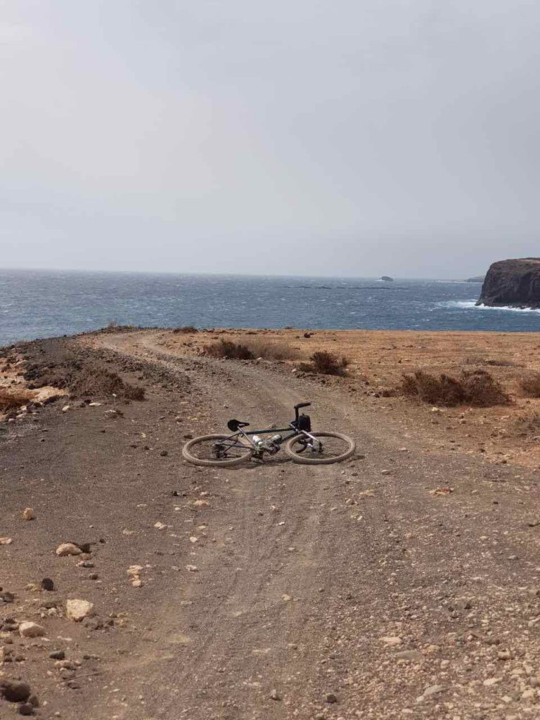
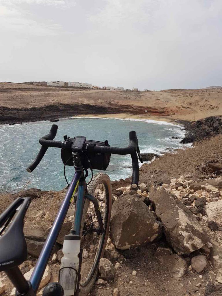
The exit of this route leaves from the vicinity of CC Las Terrazas, in the esplanade near the El Cortijo Golf Club. It begins heading south (normally with a favorable wind), along various paths that will take us to the Airport. Gran Canaria. It also passes through the beaches of Tufa and Aguadulce from where we will have beautiful views of the sea.
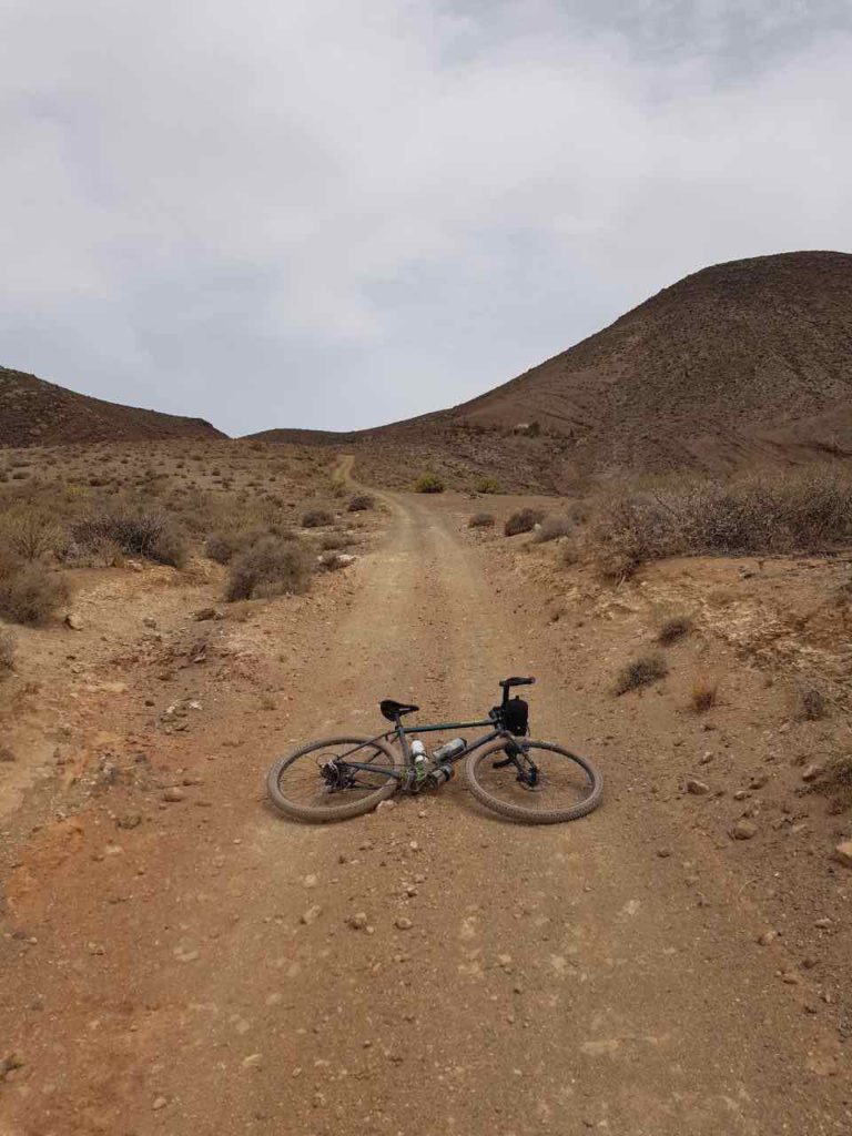
After the airport, the ascent towards Ingenio begins
Once past the airport we began to climb secondary roads and trails in the direction Ingenio. You have to turn right along a main road until you pass the houses of Aquatone. Two more curves to the north, we will enter on the left along a fairly steep road that connects to a very beautiful and arid dirt track. This will then take us to the main road of Hunters, in the vicinity of Magullo Loin. Do not worry, At the end of this article we will leave you the route track so you don't get lost.
We continue climbing from Lomo Magullo
In the vicinity of Lomo Magullo, direction Los Cernícalos ravine We will continue the climb along a small and winding road towards Las Vegas, municipality of Valsequillo. Before reaching this area, we will enter a descending road (from here everything is downhill) that will take us to the San Miguel ravine. Here we can even refill our water bottles in a fountain surrounded by yam trees.

We end up in Telde
Finally, we will have to cross Telde towards the town of Tara. The route ends by descending through the Telde ravine, very rocky, to reach the same place where we left the car.

Route characteristics
The route lasts approximately 3 and a half hours, depending on your pace and the stops you make. I brought two 750ml bottles and three energy bars. With this I was able to complete the route well, refilling the bottles, already on the way down, in the San Miguel ravine. The hardest climb begins in Aguatona. From here you should have at least one full bottle. If you don't have water, there is the town of Ingenio nearby (on the left). In Lomo Magullo you will also find a tobacconist in case you need to buy more.
| Distance | 53,31 km |
| Total promotion | 1.217m |
| Estimated time | 3-4 horas |
| Minimum drink | 1,5 l |
| Minimal food | 500 Kcal |
| Shops on the road | Si |
| Technical level | Easy |
| Recommended bike | MTB, gravel, XC MTB |
Track of the bike route from Telde
Now, You can download the route track in .gpx format so you can follow it on your own without getting lost. If you don't know how to download it and follow it from your GPS or smartphone through the Guru Maps app, here we explain it to you. If you want support us So that we can continue creating content for you about Gran Canaria, we will appreciate it if you purchase any of our tracks, either to enjoy incredible routes or as a donation.

Below you can see more gravel bike and MTB routes in Gran Canaria.


Athlete and lover of life on two wheels, both mountain biking and urban biking. He is the Spanish MTB downhill champion and, therefore, a great connoisseur of the mountains of Gran Canaria.