This enduro route through San Mateo comes from the little one town of Las Lagunetas and, being a circular, it also ends at this point. It is one of the most beautiful enduro routes on the summit of Gran Canaria.
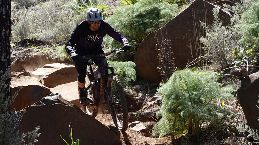
Circular enduro route through the summit of Gran Canaria
The route begins by climbing on asphalt from the Las Lagunetas area until it forks along a cement track that quickly becomes a path. This trail is 80% cyclable, although it is quite steep and will depend on your physical fitness. There are some parts that we will have to carry the bike, but without much difficulty. Surely anyone who rides an electric bike could do almost everything on the bike.
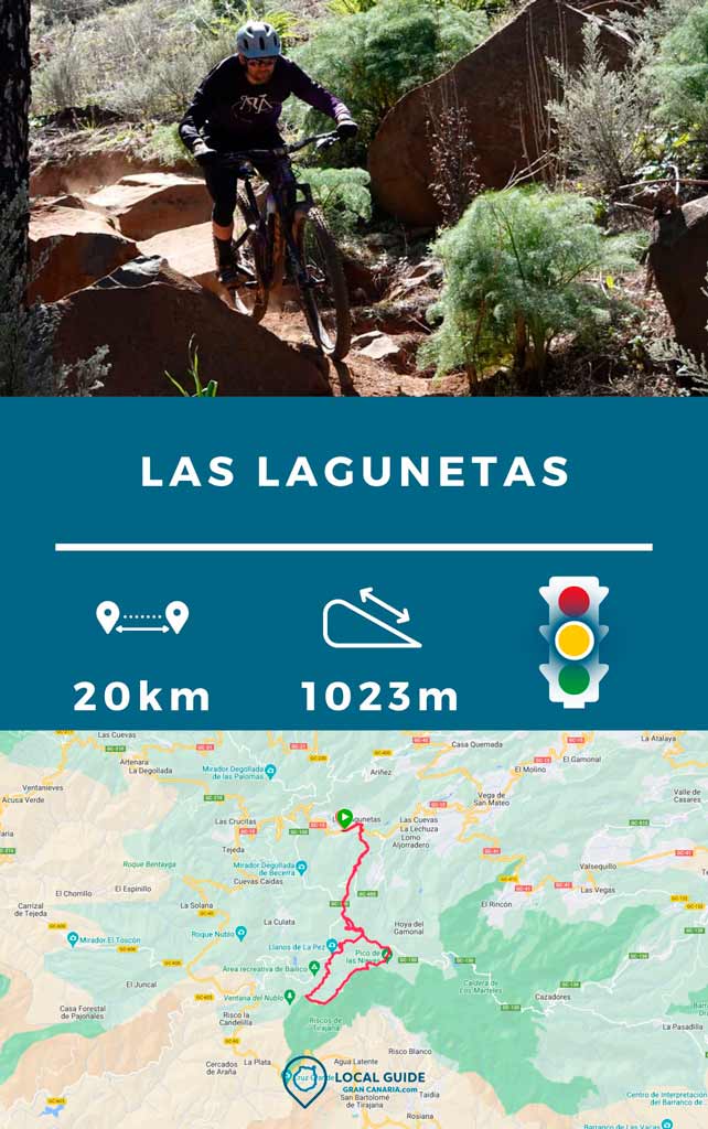
| Distance | 20,5 km |
| Total promotion/demotion | 1023m |
| Estimated time | 3 / 4 hours |
| Minimum drink | 500 l |
| Minimal food | 400 Kcal |
| Shops on the road | Si |
| Technical level | Medium |
| Recommended bike | Enduro/All Mountain |
The path runs among meadows with few trees, which leaves us with views of Las Palmas de Gran Canaria and the island's mountains are spectacular. It is a route that is quite enjoyable because of how cyclable it is. The track passes through The Llanos of Ana López and connects with an uphill path that ends in a "mobile store" in the Llanos de La Pezo. Here you can buy some fruit, sweets, snacks and water.
From this point it goes up to The Balls of Pico de Las Nieves. And once up begins the mythical descent towards Las Mesas, but for two interesting and different variants from the usual descent. Very fun and with stone splicing that is very enjoyable.
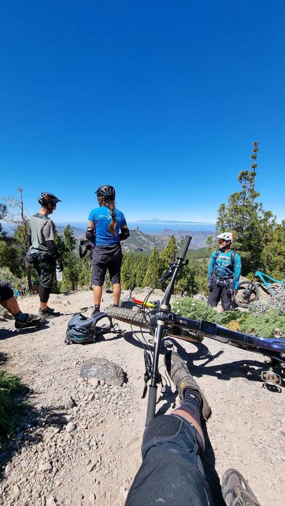
When we arrived at Las Mesas, we went up again on a variant of a dirt track for about 20/30 minutes. For go back down a very fun and winding path. This trail has banks and small junctions as if from a bike park would be treated. Once this loop is finished, we go down the path again to the intersection of Los Llanos de la Pez. Definitely, It is much more fun going down than going up.
Is this route recommended?
Of course. It is a very fun route, relatively short in kilometers, but with almost 1000m of elevation gain. Almost the entire climb is cyclable, 3 points where you can buy food/water and very fun descents. If a sunny day suits you, the better. But you could also do it on a rainy day, because this terrain holds water well and does not get excessively muddy.
Route track
Now, You can download the track in .gpx format so you can follow the route on your own. If you don't know how to download it and follow it from your GPS or smartphone, here we explain it to you. If you want to support us so that we continue creating content for you about Gran Canaria, we would appreciate it if you purchased any of our tracks, either to enjoy incredible routes or as a donation. Oh, and don't miss the video of the route below!
Video of the route
We leave you with a small video about this route. Cheer up!
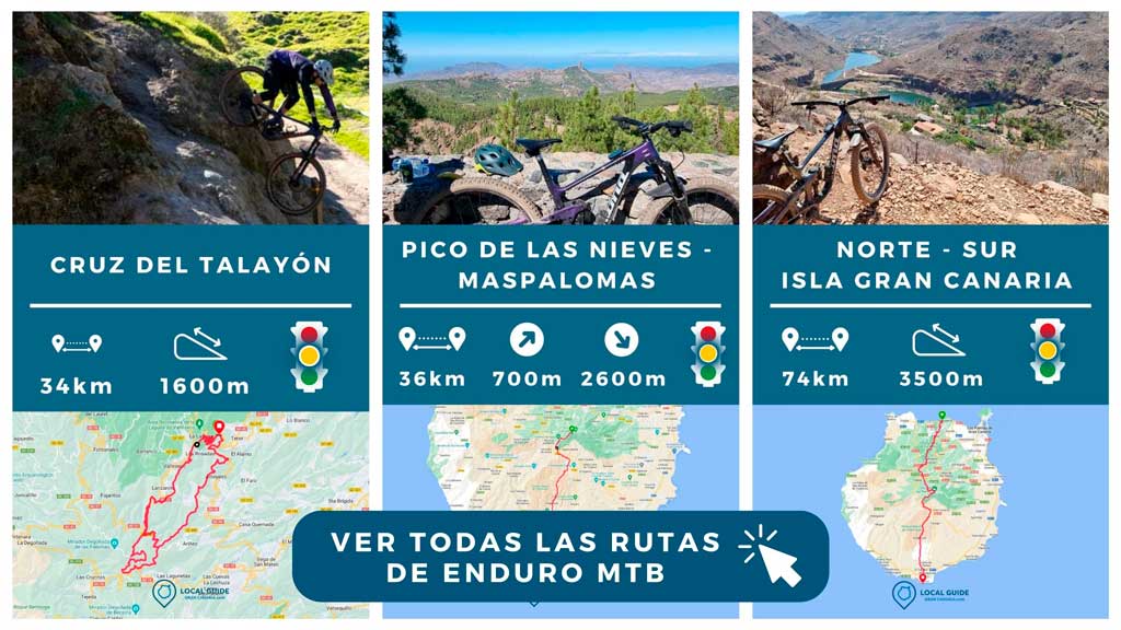
Next you will be able to discover all our enduro and MTB routes to get to know Gran Canaria by bike.
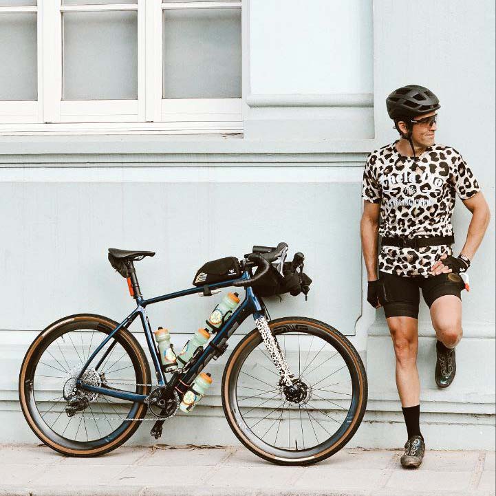
Athlete and lover of life on two wheels, both mountain biking and urban biking. He is the Spanish MTB downhill champion and, therefore, a great connoisseur of the mountains of Gran Canaria.


