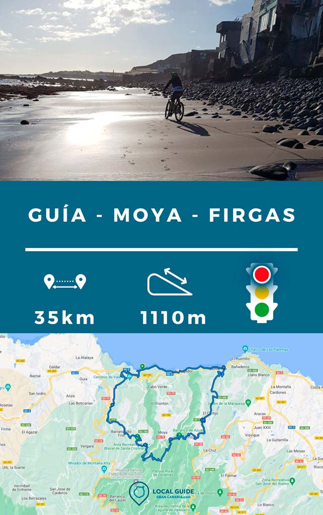
In this post we share with you a Enduro bike route through Guía, Moya and Firgas, in northern Gran Canaria. Keep in mind that, apart from being fun, it passes through very interesting areas where the Canarian aborigines left their traces.

Enduro bike route through Guía, Moya and Firgas
The route begins at San Felipe beach, coasting, in this case even along the sand when we caught a sunny day and at low tide. Next you must go up a dirt track that turns into asphalt, taking some dirt shortcuts until you reach the municipality of Firgas. Exactly to make the well-known descent of the Azuaje Spa.

Subsequently, you have to climb a royal path of stairs that reaches the vicinity of the Doramas (Moya) path. This part is a bit hard, unless you have an electric bike.. In any case, you can carry your bike. Don't worry, then the route goes more bearable trails that take us to the area of The Linden Trees of Moya, a well-known hiking area that we have already told you about.

At the end of this path, you must take another road with quite a slope that leads to the vicinity of the Santa Cristina recreational area. Here some fun trails await us to go down with our Enduro or All Mountain bike.

You must then continue through the pasture of Santa Maria de Guía (Gran Canaria), with trails that go up and down, keeping us close to 500m altitude. Later, you will begin to descend towards a mountain top where the aborigines met to discuss their decisions, very close to the famous anthill. This is the Tagoror of El Gallego. At this point we have spectacular views of Las Palmas de Gran Canaria, San Felipe and the mountain of Guía.

Afterwards, the final descent begins with a surprise. An old royal road that takes us through some zigzags rocky stairs to the beach San Felipe. From here you will have exclusive sea views, since very few Canarians have enjoyed them.

Route characteristics
The route has a run of 34,91 km. We did it in about 4:40 hours at a leisurely pace with 3 stops. The accumulated difference is 1110m positive. Regarding the technical level necessary to do the route with a mountain bike enduro would be medium, and with an All Mountain, medium-high, since the descent from the aboriginal area of Santa María de Guía is quite complicated, although you can walk through it.
| Distance | 34,91 km |
| Total promotion/demotion | 1.110m |
| Estimated time | 3 / 5 hours |
| Minimum drink | 2 l |
| Minimal food | 800 Kcal |
| Shops on the road | Si |
| Technical level | Medium/high |
| Recommended bike | Enduro/All Mountain |
Tip: during the journey there are not many places to buy water, so we recommend bringing at least two liters. The last point you will find to buy food and drink is in Firgas.
Video of the route
Track of the enduro bike route through Guía, Moya and Firgas
Now, You can download the track in .gpx format so you can follow the route on your own. If you don't know how to download it and follow it from your GPS with the Guru Maps app or smartphone, here we explain it to you. If you want to support us so that we continue creating content for you about Gran Canaria, we would appreciate it if you purchased any of our tracks, either to enjoy incredible routes or as a donation.

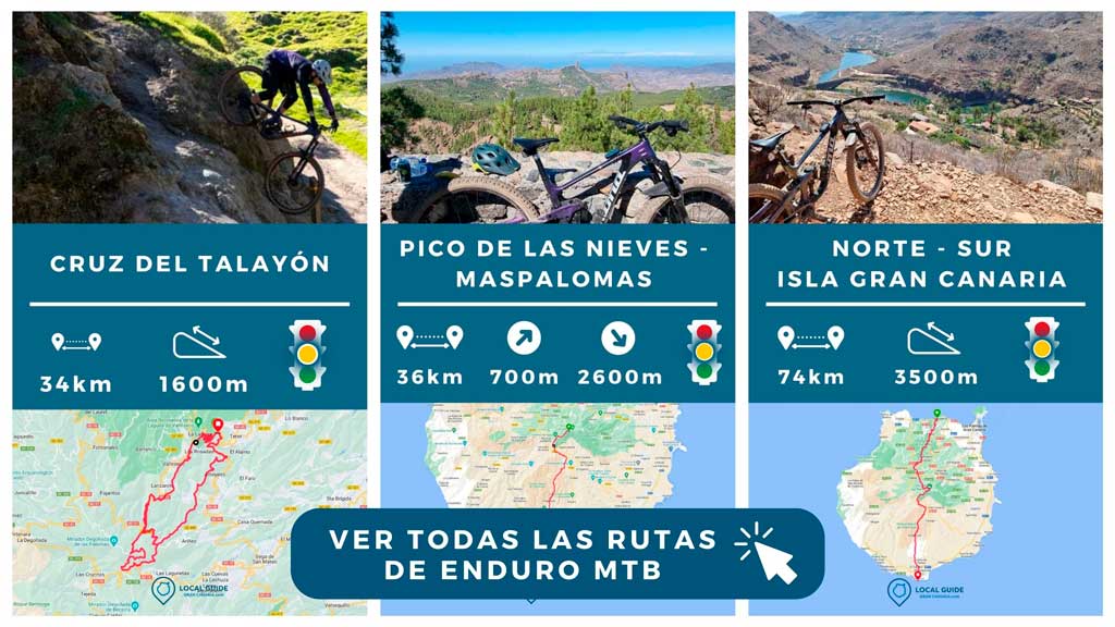
And, if you want to access For more enduro bike routes around Gran Canaria, you just have to click on the following image.

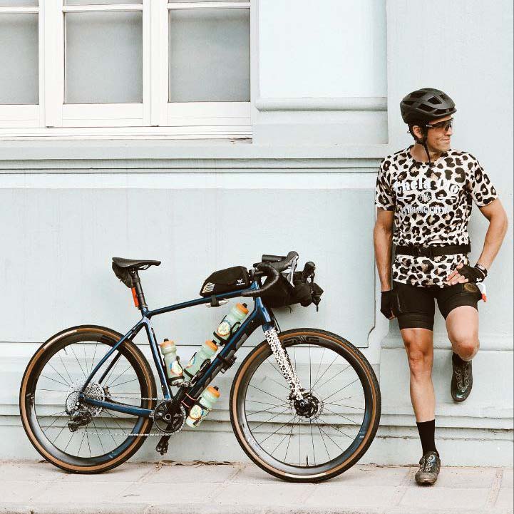
Athlete and lover of life on two wheels, both mountain biking and urban biking. He is the Spanish MTB downhill champion and, therefore, a great connoisseur of the mountains of Gran Canaria.


