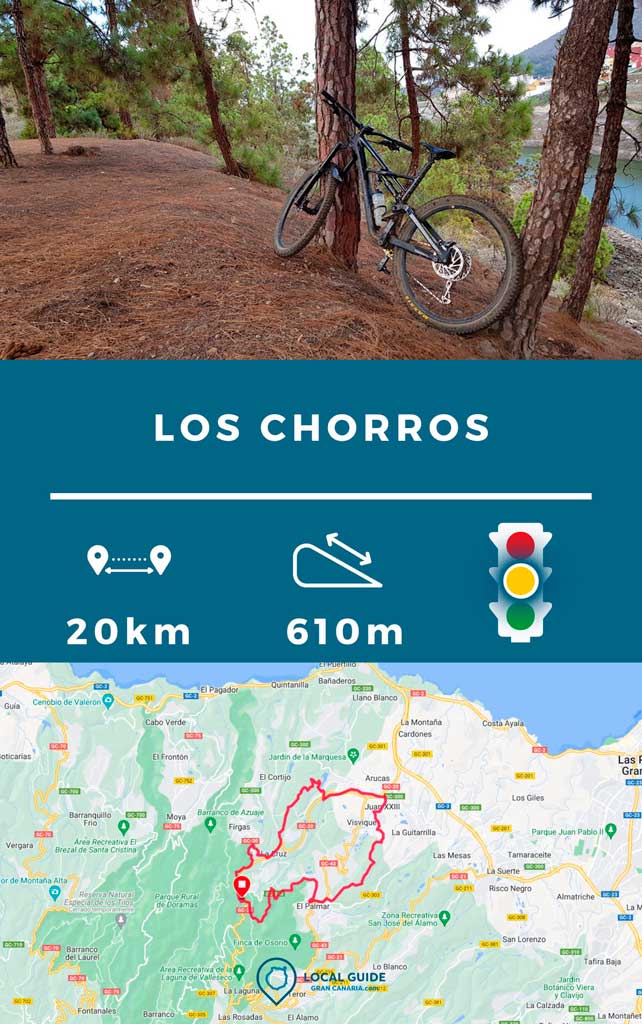
In this post we want to share with you a enduro route Firgas, next to Los Chorros. There are a total of 20 kilometers and 610 meters of positive slope. Medium technical difficulty, on red dirt roads (Firgas) and areas of stones stuck in Arucas. Everything in the northern area of Gran Canaria.
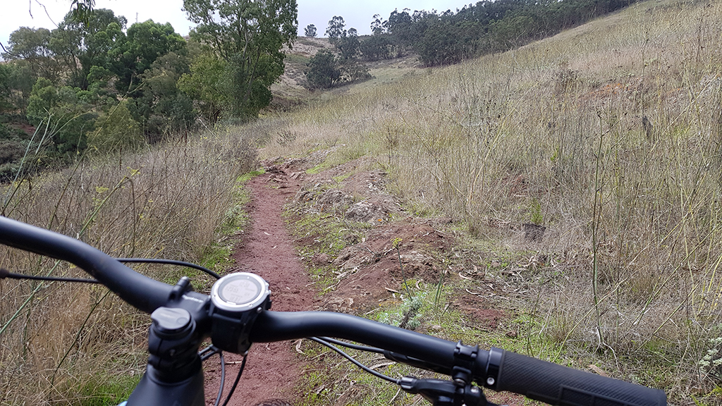
Enduro in Los Chorros, Firgas
The route leaves from the Los Chorros intersection. We chose this place because it has a large parking lot where we can leave the car and go to eat after the route. The track, which we will share with you at the end of this article, passes through the following points and descents:
- The jets
- DH The Fortress
- DH El Picacho
- Arucas Ravine
- Crusher
- Paths of Firgas
- The jets
Characteristics of the enduro route through Firgas
| Distance | 20,17 km |
| Total promotion/demotion | 610m |
| Estimated time | 2 / 3 hours |
| Minimum drink | 1,5 l |
| Minimal food | 300 Kcal |
| Shops on the road | Yes |
| Technical level | Medium |
| Recommended bike | Enduro/All Mountain |
We start the route going up
As soon as we leave the Los Chorros parking lot on the main road, we will turn off to the left of the road and climb a very steep slope of red dirt. We cross a small country road and follow the path behind the chain. And we will continue climbing, even walking through some reeds until we reach the exit of the DH The Fortress with spectacular views.
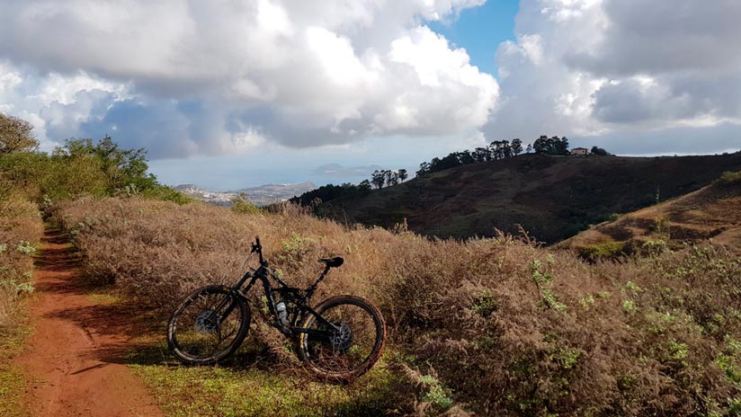
Descent of La Fortaleza by Mountain Bike
This is one Downhill tracks most legendary in the area Firgas. Red dirt, perfect for making small jumps and cambers that make it very fun, although somewhat short. It ends on the main road of The castles, where you must turn left direction Teror until a roundabout where there is a gas station. At that point turn left towards Arucas (all this by road, the longest asphalt part of the route). A little later, we left the general direction to the mountain of The Picacho. After an asphalt slope, we arrive at the entrance to a dirt road, where the good stuff begins. We leave you with a video of this descent.
El Picacho Mountain
In this mountain of stuck stone and hard earth, there are thousands of paths. It is practically a bike park natural on the island of Gran Canaria, where many of the RIDERS de Las Palmas de Gran Canaria They come to train. For the convenience of having good parking, proximity to the capital (10 minutes by car) and infinite paths of different levels. Even at the highest technical level, since very few pass through here RIDERS canaries.

The route goes through a not very well-known descent, near two ponds and on the edge of the mountain with beautiful views of Arucas. It can take between 8 and 20 minutes to complete the descent, depending on your level. Later we will go through quite technical stone parts. You have to be careful with them, especially if the area is wet.
Video of the route
Then we leave you with a video of this part of the route.
Arucas Ravine
Once you have come out of the descent, we leave the soccer fields and the Barreto bar behind and go under the Arucas road through a small ravine between the cane. Here you will have to flatten on boulders and cross the town passing a couple of tunnels. Next, a little further on after an even deeper area of reeds, you must leave the dirt road to go up the road towards the town of La Goleta.

Climbing through a variant of La Machacadora
Entering through a small children's park in La Goleta, we went down a little to cross between two dams where some begin beautiful paths between pine trees. We begin the strong and winding technical climb, which leaves us at some houses before La Machacadora. We will take advantage of the path of these houses to practically crown the mountain of La Machacadora. Furthermore, with less effort than if we went up the main path. We continue until we touch a small neighboring road. And we end in the royal irrigation canal until we reach the road that takes us to the town of La Cruz.

Firgas paths with the mountain bike
At the roundabout in the town of La Cruz, you must turn right towards the town of Firgas. When you find the main road, cross to enter some red dirt paths between some houses. Even if it is uphill, they are quite fun. Next, bordering the main road we will reach the road that reaches the Los Chorros intersection., where we start this route.
Track of the enduro route through Firgas
Now, You can download the track in .gpx format so you can follow the route on your own. If you don't know how to download it and follow it from your GPS or smartphone, here we explain it to you. If you want to support us so that we continue creating content for you about Gran Canaria, we will appreciate it if you purchase any of our tracks, whether to enjoy incredible routes or as a donation.
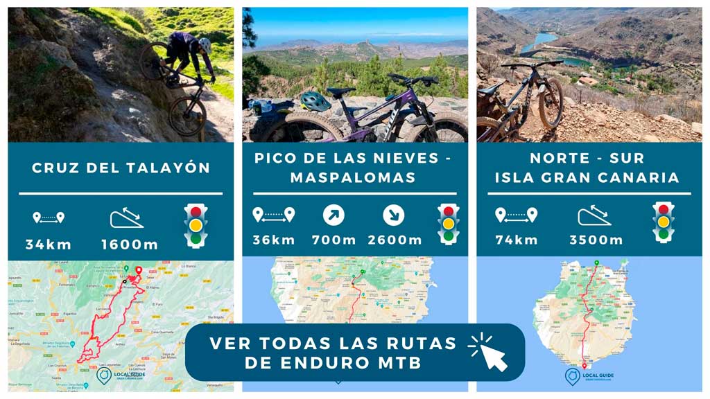
If you want to consult all our enduro routes through Gran Canaria, click on the following image.
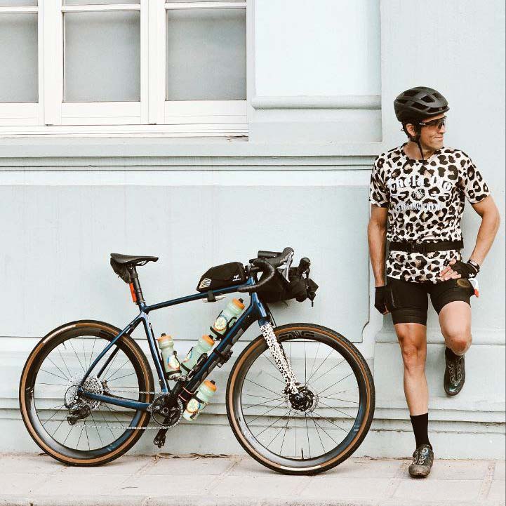
Athlete and lover of life on two wheels, both mountain biking and urban biking. He is the Spanish MTB downhill champion and, therefore, a great connoisseur of the mountains of Gran Canaria.

