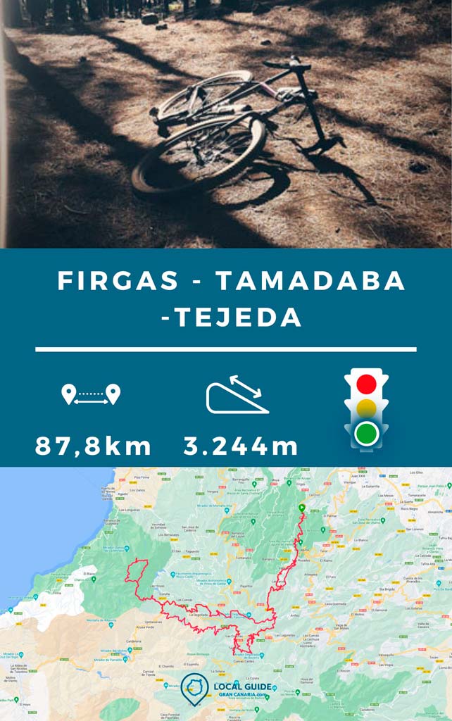
This route Circular from Tamadaba to Tejeda is perfect for Gravel Bike lovers. En Gran Canaria There are not too many tracks that are ideal for this type of bike, as they are usually broken or full of potholes. In this circular we are going to go 65% of the time on asphalt, and the rest along dirt tracks of low technical level. We will have to carry the bike on our shoulders twice, but it will be worth it to see the spectacular landscapes of this area of the island.

Characteristics of the circular route from Tamadaba to Tejeda
| Distance | 87,8 km |
| Total promotion | 3.244m |
| Estimated time | 5-7 horas |
| Minimum drink | 1,5 l |
| Minimal food | 600 Kcal |
| Shops on the road | Si |
| Technical level | Easy |
| Recommended bike | MTB, gravel, cross country |

What places can I visit during the route?
As it is a fairly long circular route, it passes through several emblematic towns or areas of the island of Gran Canaria. The most notable parts are tamadaba, Artenara, Knight Caves, Tejeda, Guardian, Cross of Tejeda, Valleseco y Firgas.
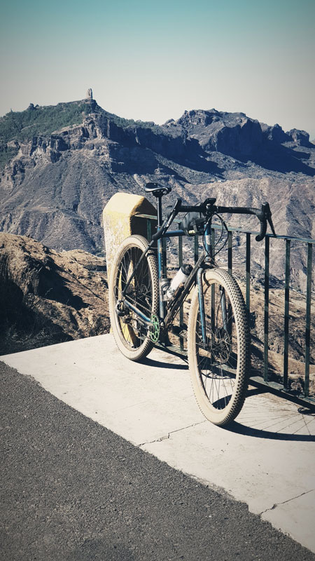
Provisioning
The key points to buy water and food They are Tejeda, Artenara, Cruz de Tejeda or Valleseco. Depending on where you started the route, calculate where you will need to refuel. The only point where I recommend that you bring at least 1 liter of water is in Guardaya, since it is usually very hot and there is no way to get around the area. If you can plan the route to do this part during hours of low heat, the better.. During the summer months temperatures of more than 40ºC can be reached in this place.

What type of bikes can I do the route with?
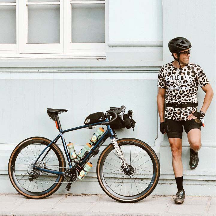
Taking into account the time we are going to spend on asphalt, The most recommended are Gravel Bikes. Although with a Cross Country bike you can also do this circular MTB route. If you go with an e-Bike, keep a close eye on your battery, as you could drain it.

As soon as to the technical aspect of the route, it is easy. Regarding the state of shape that you must have, if you want to make it complete, I would say that you have to be trained. There are more than 3000 m of positive slope, 87 km and more than 5 hours.
Download the track here
Below you can download the route track to do it on your own. The file is uploaded in .gpx format and is compatible with Garmin-type GPS and the Guru Maps app. If you want support us So that we can continue creating content for you about Gran Canaria, we will appreciate it if you purchase any of our tracks, either to enjoy incredible routes or as a donation. Here we explain how to download it and follow it once your purchase is made.
Video of the route
Athlete and lover of life on two wheels, both mountain biking and urban biking. He is the Spanish MTB downhill champion and, therefore, a great connoisseur of the mountains of Gran Canaria.

