
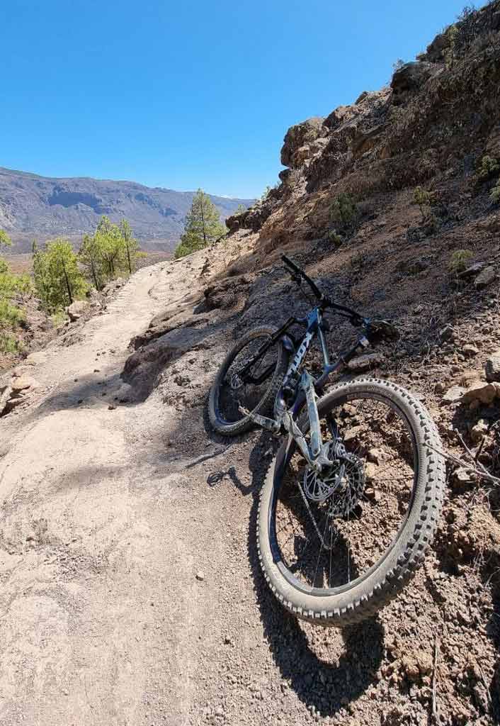
This may be one of the most legendary routes in Gran Canaria to do on a mountain bike. It starts from one of the highest peaks on the island, almost 2.000 meters above sea level, and ends in the Atlantic Ocean. That is, from the Pico de Las Nieves and to the Lighthouse of Maspalomas, next to the Dunes. It is one of the longest descents on land and rock with an end on asphalt. As you can imagine, this track will allow you to appreciate many of the contrasts that the island's landscape offers, in addition to enjoying the descent. We tell you everything below!

Enduro MTB from Pico de Las Nieves to Maspalomas
First of all, you should keep in mind that this is not a circular route. That is, you will need to get to Pico de Las Nieves by car (there is no public transportation here). Is about a drop in average technical level, although it tires the arms quite a bit due to the multitude of potholes that we are going to encounter on the different roads.
In this track we have included one of the most mythical and hardest descents on the island: Tunte. And, therefore, it also includes the climb of La Manzanilla. With about 330m of positive slope. Therefore, we recommend that you do this route with a bicycle. Enduro MTB. If your physical condition does not allow you to completely climb this hill on your bike, you can do part of it on foot. However, it is essential to do it if you want to tour the famous Devil's Trial and the DH of tunte on the tour.
Route characteristics
The bicycles recommended for this route are undoubtedly the Enduro MTB long distance, since we are going to spend most of the time descending through technical stone areas. You could also do it with a All Mountain, although you will suffer more going down. And, if you don't mind doing the climb on foot, you could even try it with a Downhill bike... Of course, the climb will be hard.
| Distance | 36,6 km |
| Total promotion | 707m |
| Total decline | 2632m |
| Estimated time | 3 / 6 hours |
| Minimum drink | 1000ml |
| Minimal food | 1500 Kcal |
| Shops on the road | No |
| Technical level | Medium |
| Recommended bike | Enduro/All Mountain |
Keep in mind that you can take the hard climb halfway through the route. That is, you can do it walking to enjoy the descent to the fullest.
✔ To take into account before taking the route
Bring enough water and food to do the complete route. The track does not go through any store in which to buy. Although we will pass near the town of Tunte, we would have to deviate from the route and make a steep climb, so I do not recommend it. We also recommend bring spare tubes, because the rock can easily make you puncture.

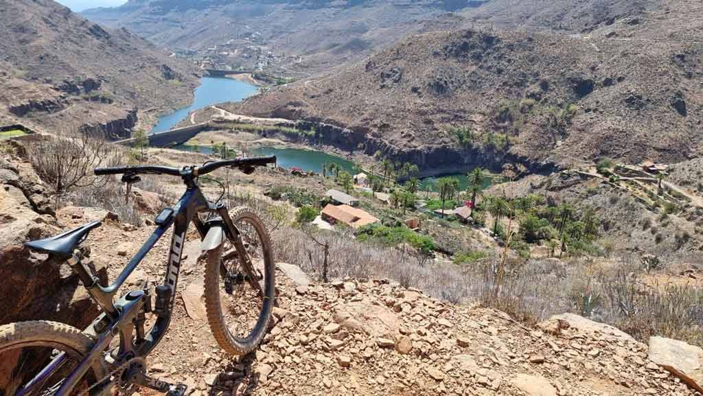
The dirt descents They end up in the town of Ayagaures. From here the track continues on asphalt to the Maspalomas Lighthouse. Therefore, if you have someone to pick you up from Ayagaures and you are not interested in getting to the Maspalomas Lighthouse, this is another option.
Download the track of this route
Now, You can download the track in .gpx format so you can follow the route on your own. If you don't know how to download it and follow it from your GPS or smartphone, here we explain it to you. If you want to support us so that we continue creating content for you about Gran Canaria, we would appreciate it if you purchased any of our tracks, either to enjoy incredible routes or as a donation. It is no longer legal to travel this trail by bicycle, so we have had to withdraw the track from sale.

We also have an epic track that starts from the north coast of Gran Canaria to the south coast by bike. You can see it here. Below you can see all our tracks to discover Gran Canaria on enduro bike.


Athlete and lover of life on two wheels, both mountain biking and urban biking. He is the Spanish MTB downhill champion and, therefore, a great connoisseur of the mountains of Gran Canaria.