
In this article we are pleased to share with you a hiking route through Pico de Osorio, the mountain located in the Finca de Osorio, within the Doramas Rural Park Protected Natural Area. This mountain in the interior of Gran Canaria is also known as Lightning Peak. At its summit the municipalities of Firgas, Teror and Valleseco. The walk runs through several trails of the Finca de Osorio, a splendid natural enclave that covers 204 hectares and where we can see one of the laurisilva redoubts of Gran Canaria. Below, we give you all the details so you can do it on your own without getting lost.
Hiking through Pico de Osorio and Finca de Osorio
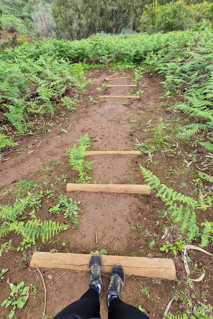
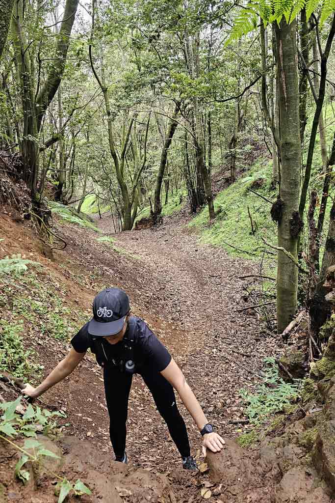
First of all, you should know that this hiking route through Osorio has steep climbs and descents, so that We recommend it for active people or hikers with some experience. Furthermore, since it is a very humid area, you should be well equipped with footwear of betweenWell, the The ground is usually slippery all year round and even more so if it has rained recently..
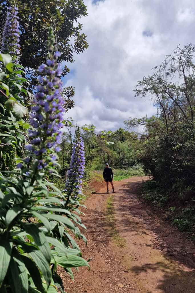
We start the path approximately at the top of Osorio, but since it is circular, when you download the track you will see that you can also start it at Finca de Osorio. We leave you with an image of the views that you will have in a part of the route to the city of Las Palmas de Gran Canaria y The Picacho of Arucas. As you will see in the video at the end, at the beginning of the path there is also a good panoramic view of the historic center of Teror.

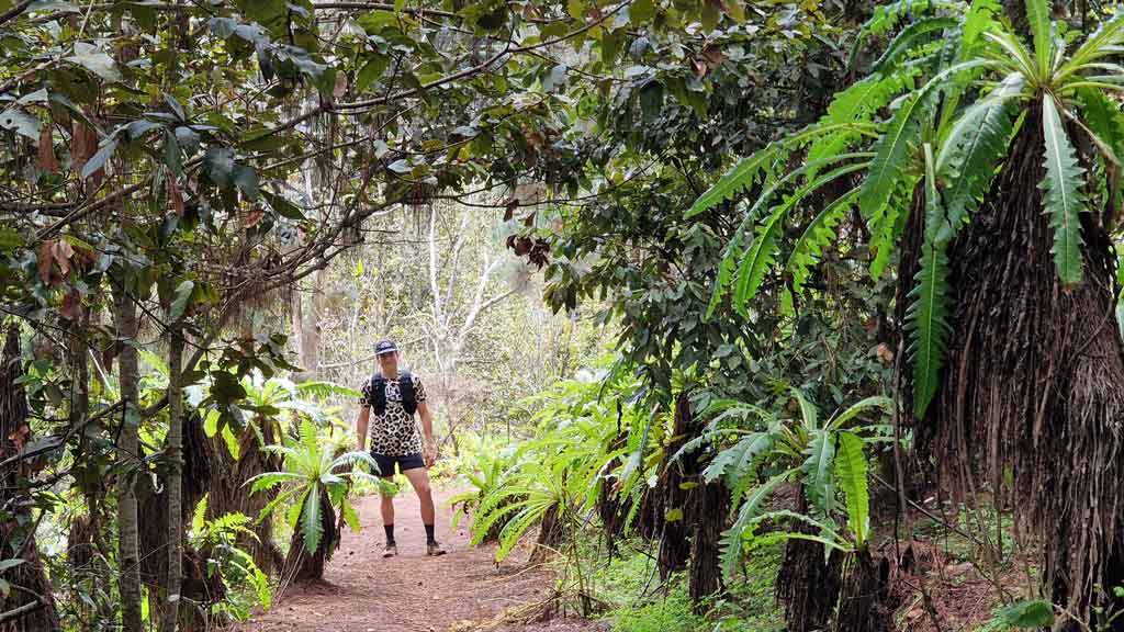
The Finca de Osorio houses one of the most important forests of Gran Canaria with pockets of laurisilva, as well as certain areas planted with chestnut trees, cork oaks and pines. Along the way, depending on the time of year, we can also see different native species of Canary Islands. How is the case of the red bell-shaped bicácaro (common in the winter months). He too blue tajinaste between February and April. You can then see a sample of the blue Tajinaste during the route. We did it in March. Anyway, if you want to see this species in its splendor, You will find the largest populations in this blue Tajinaste route de Valsequillo. Regarding the fauna, you can be lucky and see the Osorio's shrew, rabiche pigeon and some robin (like the one in the final video).
On the other hand, as we show you below, being a forested area there is There are many parts of the route that you will walk under trees, so you can do it all year round, even on hot days. (never recommended when there is a high temperature alert).
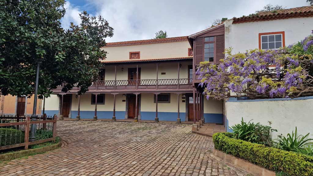
Along the trail you will pass different places of interest such as the Osorio mansion (landscaped and with domestic animals), the Didactic Trail of Doramas and even the Barranquillo de las Animas. We show you everything in the video at the end.
Characteristics of the hiking route through Osorio
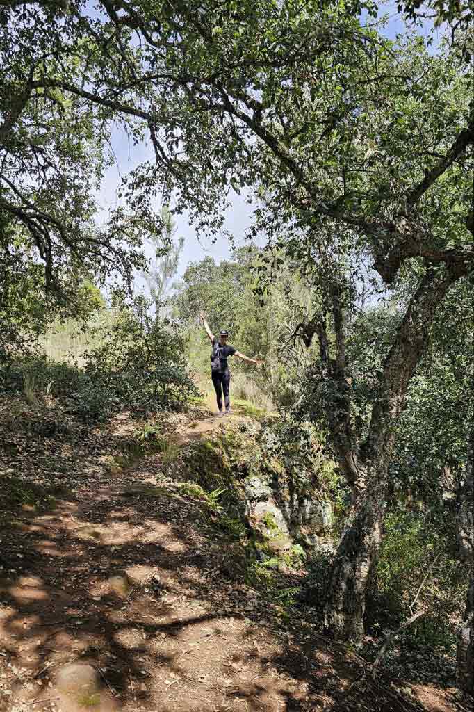
This walk through Osorio is 8,5 km and runs mostly through narrow paths surrounded by vegetation. We take a few 2 hours approximately stopping to take photos and video of the route, although we also ran on flats. You should know that The route has some unevenness, ascending about 390 meters and reaching a maximum altitude of 900 meters.
| Distance | 8,45 km |
| Approximate duration | 2 hours |
| Total promotion | 390m |
| Level | Intermediate |
| Circular | Yes |
| Picnic zone | Yes |
IMPORTANT: If you want Do this route and use the Finca de Osorio trail network, this requires a permission from the Cabildo of Gran Canaria
Track of the hiking route through Osorio
Now, You can download the track of the circular route in .gpx format so you can follow it on your own without getting lost. If you don't know how to download it and follow it from your Garmin-type GPS watch or smartphone with apps like Guru Maps, here we explain it to you. If you want to support us so that we continue creating content for you about Gran Canaria, we will appreciate it if you purchase any of our tracks and at the same time you will be able to enjoy incredible routes with our help. Keep in mind that as it is a circular route, you can Start the track at the point that suits you best, but we do recommend doing it in the same direction as us.

You can consult other hiking trails in Gran Canaria to discover the island on foot on our website.
Where to eat on the route
To eat on the road you can use the Osorio picnic areasone recreational areas of Gran Canara which requires a permission from the Cabildo of Gran Canaria. Another option is in any of the restaurants we recommend in Valleseco. When we took this route we drove about 10 minutes to the Lanzarote neighborhood where is it The Canary Corner. Here you will find good dishes typical Canary Islands food as local cheeses, wrinkled potatoes, chickpeas and even some delicious carajacas. We show it to you in the video at the end!

Video Finca de Osorio hiking
This post is accompanied by a video with images of the entire trail and interesting information about the route. We hope you like. Do not forget subscribe to our YouTube channel Local Guide Gran Canaria to discover more places that you cannot miss on the island.
Gran Canaria Guides
Finally, if you are visiting the island and don't know what to see in Gran Canaria, we invite you to view all our digital guides to the island to discover and taste the island on your own. Are available in Spanish and English and you can take a look at all of them by clicking on the following image.


Athlete and lover of life on two wheels, both mountain biking and urban biking. He is the Spanish MTB downhill champion and, therefore, a great connoisseur of the mountains of Gran Canaria.

One of the best places in Gran Canaria, with pockets of laurel forest.
Thank you very much for the magnificent and illustrative report.
Greetings from a follower.
Thank you very much José Antonio, a hug!