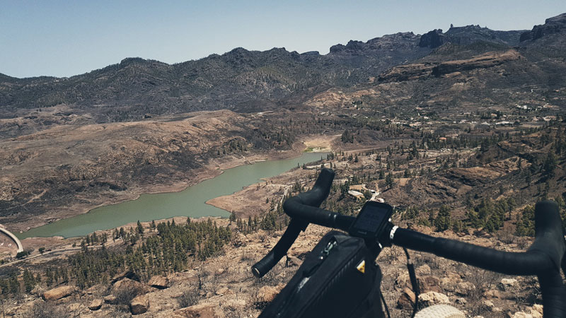
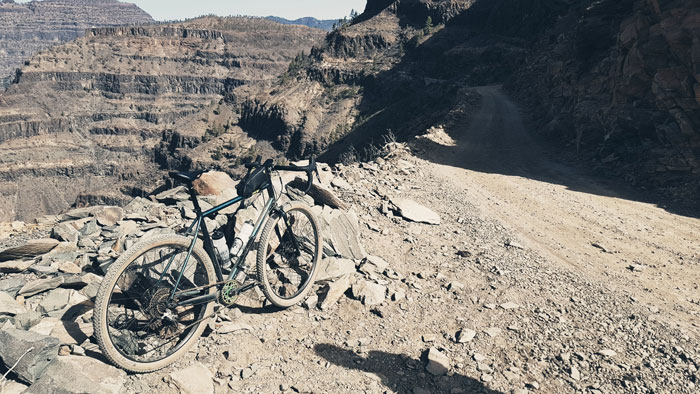
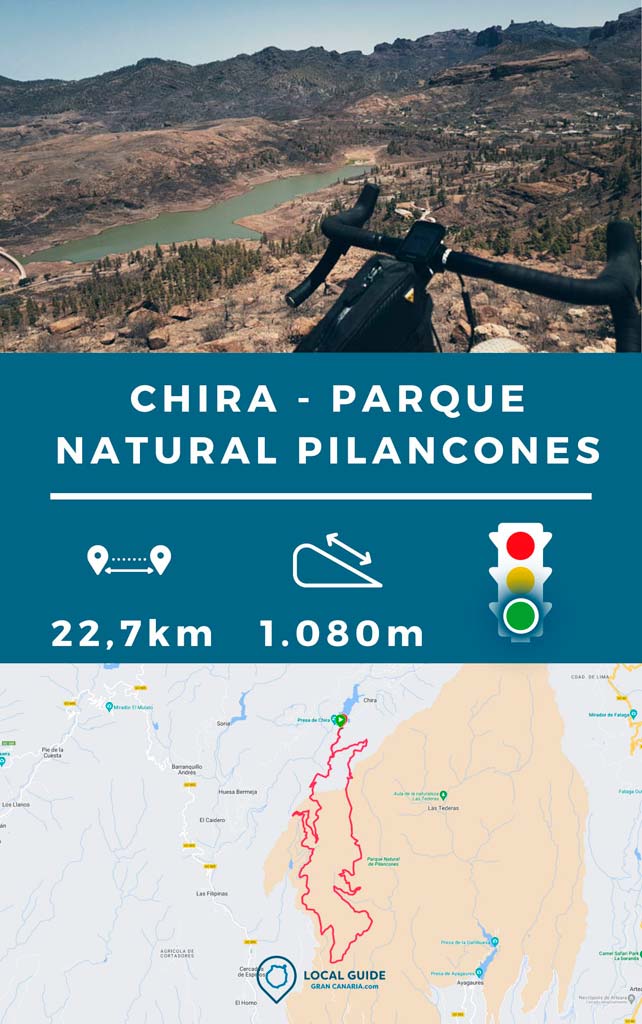
The Chira dam is in the central area of the island of Gran Canaria. It is a very mythical water reservoir. From here there is a circular route that runs along a dirt track towards El Tablero (south of the island). Therefore, we recommend that you do it in counterclockwise direction. Since this way you will go down on the smoothest track, and go up on a track that is a little more broken, but that is not too difficult.
Route characteristics
| Distance | 22,7 km |
| Total promotion | 1.082m |
| Approximate time | Between 1,15 and 3,30 hours |
| technical difficulty | Easy |
What places can I visit during the route?
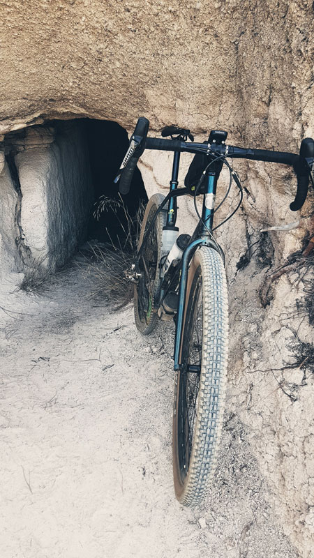
As we said at the beginning, this route leaves from the Chira dam, from a small group of houses. Many people picnic in this area. As the route is circular by land, it does not pass through any other town. Although it is close to Pilancones viewpoint, we will also find a siding with some interesting caves. We will also have some points with excellent views of the ravines and the southern part of the island.
Provisioning
During this circular ritual through Chira We will not find any point to buy or refill water. Nor where to buy food. so you should Bring at least 300 kcal of food and a liter and a half of water. On hot days it can be strong in the uphill area that we have in the middle of the route.
What type of bikes can I do the route with?
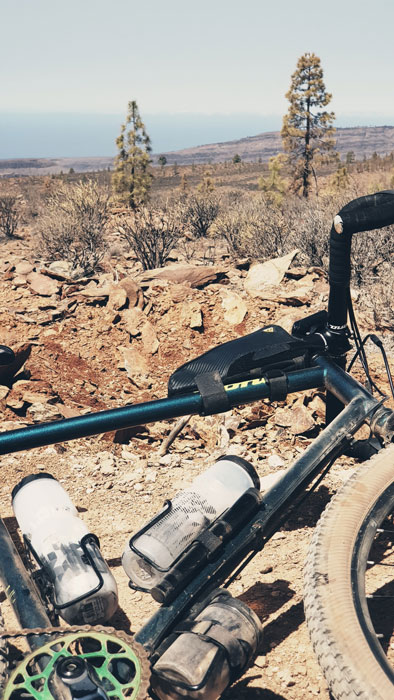
The ideal bicycle to do this MTB route is one of XC (Cross Country). It doesn't have much technical difficulty, but we'll probably be thankful on the climb that it has some loose stones, a 2.0 tire. We can also do it perfectly with a Gravel bike u All Mountain.
What level do I need to complete this route?
We believe that this route is perfect to get started in the world of Mountain Bike. For its good views, easy technical difficulty and little physical difficulty. We consider it to be quite accessible.
Track of the Chira circular route by MTB
Now, You can download the route track in .gpx format so you can follow it on your own without getting lost. Below we have a route pack that includes this track in case you are interested (after the video). If you don't know how to download and follow a track from your GPS or smartphone with Guru Maps, here we explain it to you. And if you want support us so that we continue sharing routes for you, We will be grateful if you purchase any of our tracks, whether to enjoy incredible routes or as a donation.
Video of the route
Below, you can see some video images of this gravel route through Gran Canaria.
Pack best MTB and gravel routes in Gran Canaria
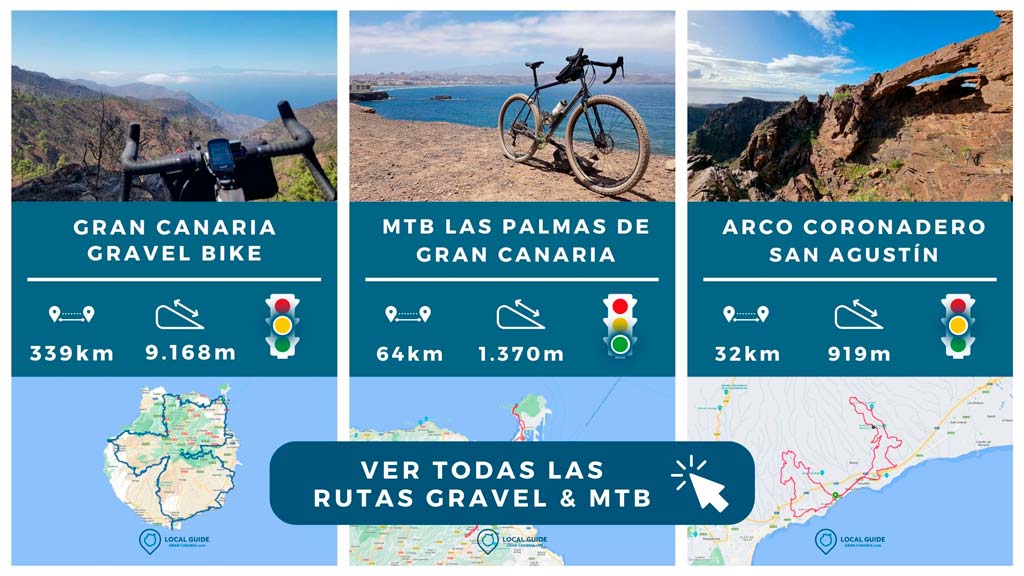
Next, you can get 5 gravel bike tracks for the price of 4. This pack includes the track in this article that runs through the Pilancones Natural Park from Chira and four more routes. Unlike Complete gravel bike track through Gran Canaria, It is simpler routes and all circular, which requires less planning.
- Chira – Pilancones Natural Park
- MTB by Las Palmas de Gran Canaria
- Coronadero Arch
- Gáldar – Agaete
- Maspalomas – Ayagaures
Finally, below you can see other routes to explore the island of Gran Canaria by MTB. Take a peek!
Athlete and lover of life on two wheels, both mountain biking and urban biking. He is the Spanish MTB downhill champion and, therefore, a great connoisseur of the mountains of Gran Canaria.

