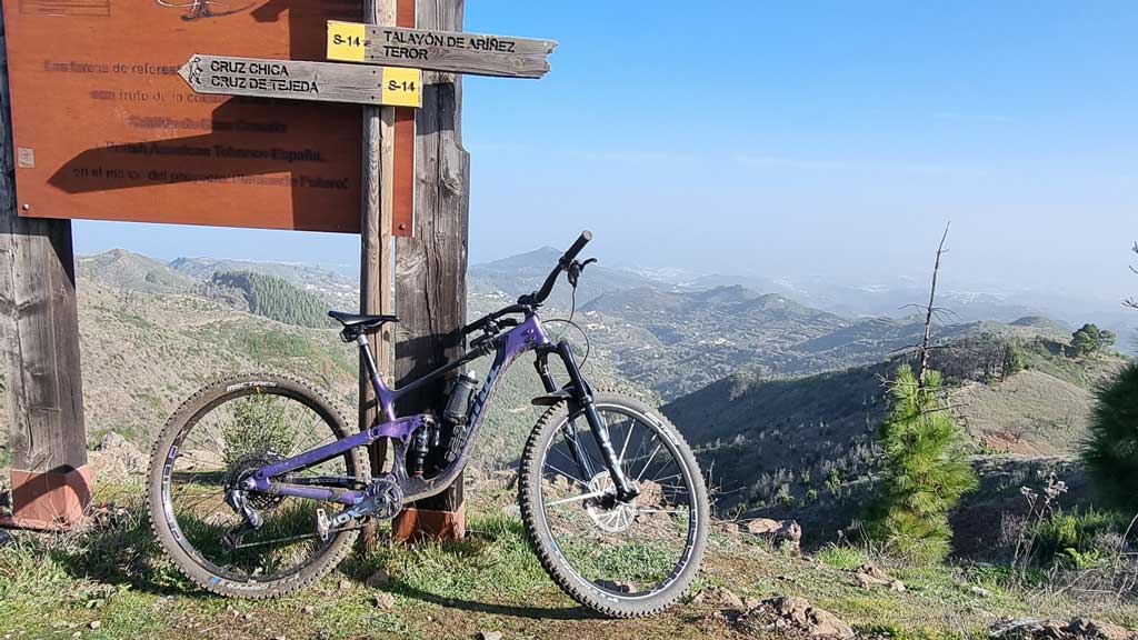
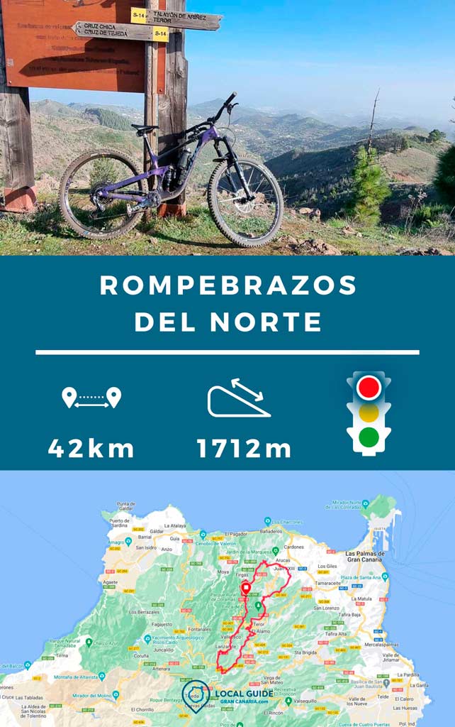
This Enduro MTB route is a circular with one of the longest descents in the northern part of the island of Gran Canaria. The descent begins from lowest to highest intensity, so only the strongest will be able to endure the descent without stopping. And if we add to this a second part for the famous "black belt", stage of the Spanish Enduro MTB championship, you will finish the route with broken arms. Hence the name we wanted to give to this route “Circular Rompe-arms del Norte”.

A bike descent of almost 1.600m
The first descent of the route begins with the super descent, one of the longest that we will find in the north of the island of Gran Canaria. Its about Talayón de Ariñez, which begins in the vicinity of the Cross of Tejeda. This path begins with a series of curves without difficulty. Then, as the path progresses, it becomes more and more difficult. The track passes through a small neighborhood of houses in the middle of the mountain, but 90% runs along dirt and stone paths.
When we recorded the track, the road was in good condition. As a general rule it is clean, being frequented by Enduro cyclists and some hikers or mountain runners.
The descent of The Black Belt, in El Picacho
After finishing El Talayón, we will surround the town of Teror. In this way, by road, we will reach the El Picacho mountain. Here there are several paths to reach the town of Arucas. This route probably goes through the hardest path among the options we have. In the same way as the previous drop, it goes from less to more. Few riders are able to descend the Black Belt from start to finish with their Enduro bike.
Features of this enduro MTB route
For this route we recommend a Enduro or All Mountain bike of at least 14cm of double suspension travel. Keep in mind that this is a circular route, so you will have almost 1600m of positive elevation gain, although most of them will be by road. Being circular, you can start the route wherever you want. Although I recommend that you do it in Arucas to end up going down with a happy ending.
| Distance | 42,5 km |
| Total promotion/demotion | 1.715m |
| Estimated time | 3 / 6 hours |
| Minimum drink | 500ml |
| Minimal food | 500 Kcal |
| Shops on the road | Si |
| Technical level | Medium / High |
| Recommended bike | Enduro/All Mountain |
✔ To take into account before taking the route
We will pass by some shops/restaurants along the route. In Arucas, Los Chorros and Valleseco. Even so, it is always advisable that bring enough food and water. In the Black Belt area, It's very easy to puncture your tires, so carry spare tubes and tools.

Download the track of this route
Below you can download the track in .gpx format so you can follow the route on your own. If you don't know how to download it and follow it from your GPS or smartphone (Gurú maps), here we explain it to you. If you want to support us so that we continue creating content for you about Gran Canaria, we would appreciate it if you purchased any of our tracks, either to enjoy incredible routes or as a donation.

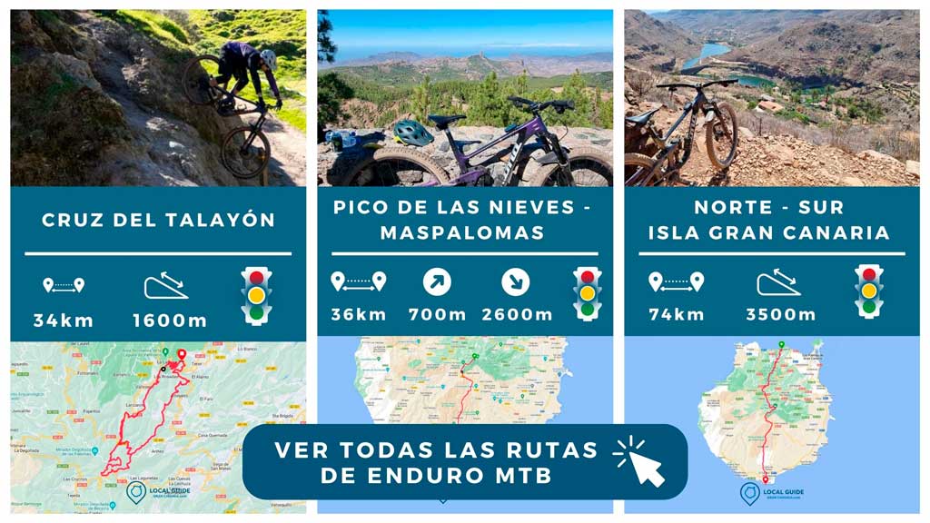
If you want to know more routes like this, take a look at all our tracks below.

Athlete and lover of life on two wheels, both mountain biking and urban biking. He is the Spanish MTB downhill champion and, therefore, a great connoisseur of the mountains of Gran Canaria.


