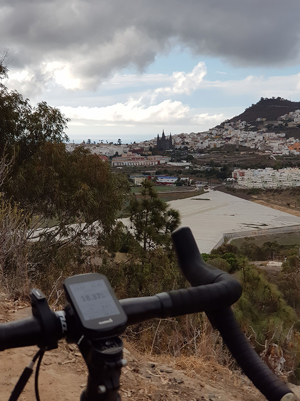
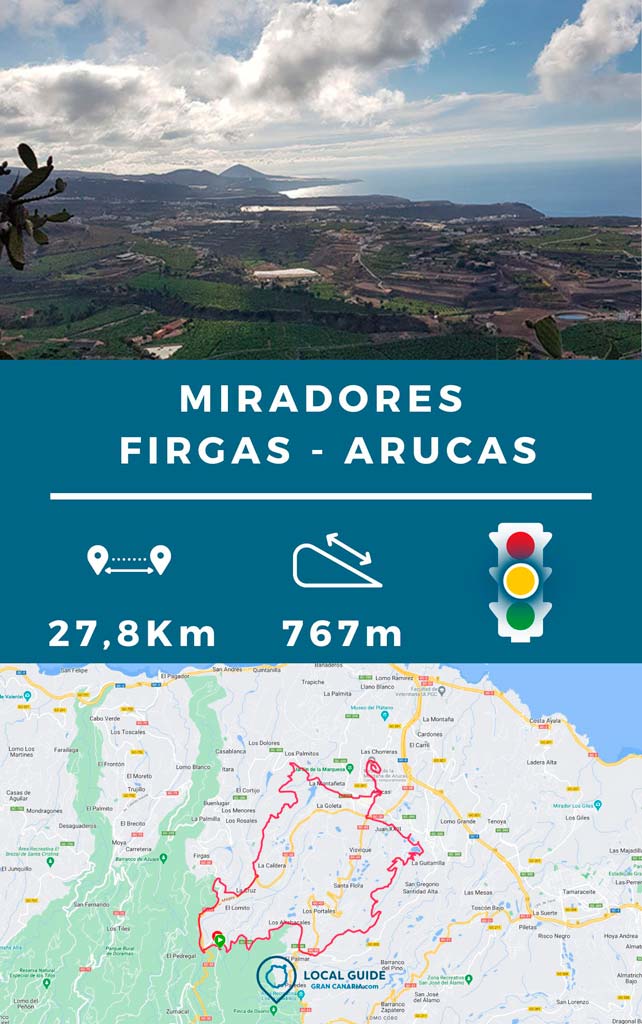
In this post we want to share with you a circular route through the viewpoints of Firgas y Arucas. The length of the track is a total of 28km, trying to go as long as possible by land and enjoying the best views of the area.

By bike through the viewpoints of Arucas and Firgas
During the route, We will pass by the Montaña de Arucas viewpoint, the El Picacho mountain viewpoint and the Firgas viewpoint. We can access two of them by road, but not El Picacho. In fact, the Arucas mountain viewpoint is closed to traffic in its final part.

Route characteristics
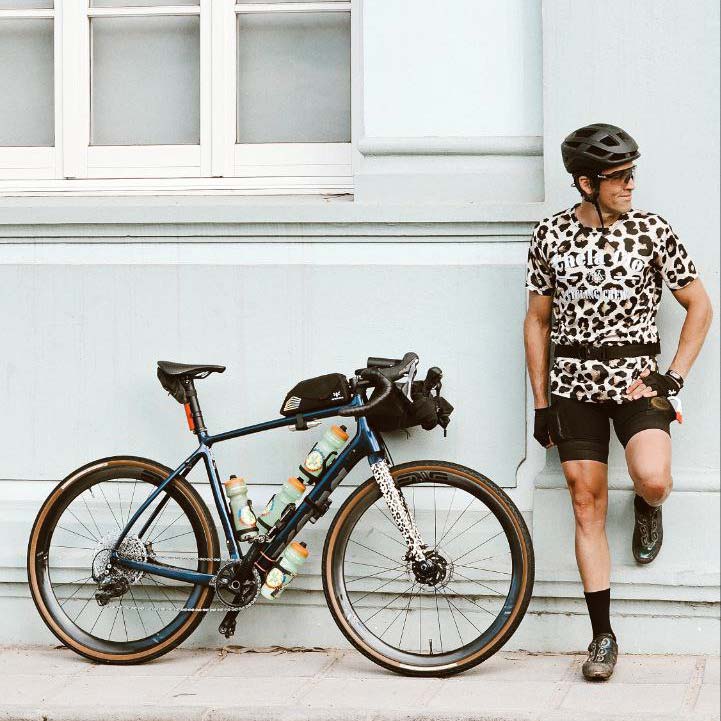
Depending on the type of bicycle you have, this route may or may not be recommended for you. If we could choose a bike to make it, it would be an XC full suspension or an All Mountain. Still, we made it with a steel Gravel Bike, so it could be made with any bike.
Gravel Bikes: High technical level
Mtb Xc: Medium technical level
Mtb All Mountain/Enduro/E-Bike: Medium technical level (due to the climbs)

Depending on your technical level when descending, we recommend that you do it in one direction or another. If you like downhill mountain biking, do it counterclockwise. Thus you will go down the Picacho, a well-known descent on the island. If you prefer the descent to be less technical, it is better to do it clockwise.
| Distance | 27,8 km |
| Total promotion | 767m |
| Estimated time | 2 hours |
| Minimum drink | 1 l |
| Minimal food | 400 Kcal |
| Shops on the road | Si |
| Technical level | Medium-high (depends on the bike) |
| Recommended bike | XC / Gravel / MTB All Mountain / Enduro |
The route can be completed in just under two hours, depending on your physical fitness, as they are 710 m elevation gain in less than 28 km. It is true that the climb up El Picacho mountain is quite technical. So it requires extra effort to do those 2 or 3 km of climb. 97% of the route can be done on a bicycle without problems, the rest you can carry your bike and walk.

Download the route track
Now, You can download the route track in .gpx format so you can follow it on your own without getting lost. If you don't know how to download it and follow it from your GPS or smartphone, here we explain it to you. If you want support us so we can continue creating content for you about Gran Canaria, we will be grateful if you purchase any of our tracks, either to enjoy incredible routes or as a donation.

If you want to see more MTB and gravel routes, you have them all just one click away.

Athlete and lover of life on two wheels, both mountain biking and urban biking. He is the Spanish MTB downhill champion and, therefore, a great connoisseur of the mountains of Gran Canaria.


Very good, I can't get Guru Maps to open the route for me, it stays on an initial screen where it asks me to name it and so on, but I can't see it in any way. Can you help me please?
Hello Adal! Have you downloaded the app after downloading the track or before? That influences. Has the file been downloaded correctly in .gpx format? In principle it shouldn't cause a problem. If you need us to send it to you again, do not hesitate to tell us, we will send it to you by email.
Take a look at the following link (if you haven't already).
https://chelaclo.com/como-seguir-un-track-con-el-movil/
JorgeI think the link to download the track is missing!! I can't find it 🙁 Thanks for sharing!!
Hi Mark! Please check now, we forgot to activate the download! A hug and enjoy!